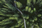
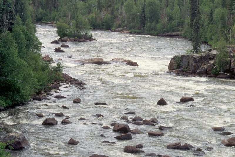
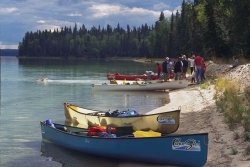
North - N of La Loche. Road and float plane access. Wilderness campground located 60 km NE of La Loche via grid Hwy 955, near Warner Rapids Bridge. Pack out what you pack in.
Location Info
N of La Loche. Road and float plane access. Wilderness campground located 60 km NE of La Loche via grid Hwy 955, near Warner Rapids Bridge. Pack out what you pack in.lat. 56.89265° N, long. -108.9806° W


Water Activities, Winter Activities, Unique Adventures, Palaeontology / Archaeology, Sporting Goods / Equipment Rental, Scenic / Historic Tour
Phone(s): 306-653-5693
Email: cliff@canoeski.com
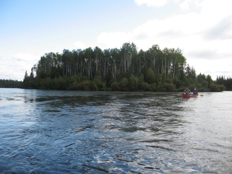
Based in Saskatoon. Trip destinations include Churchill River, Paull River, South Saskatchewan River, Kingsmere Lake in Prince Albert National Park, Stanley Mission near Lac La Ronge Provincial Park.

Extreme Adventures, Water Activities, Boat Tour / Cruise
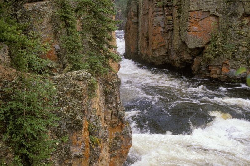
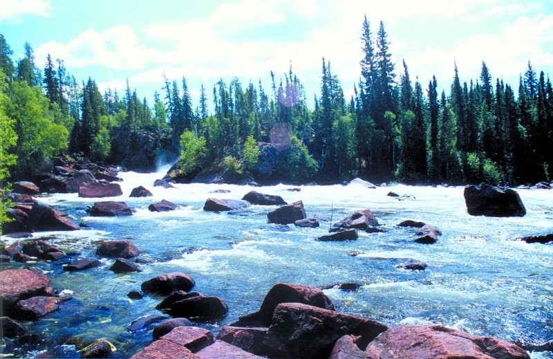
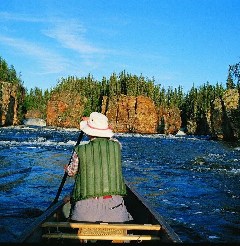
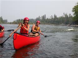
Canoe trips are run at numerous scenic and awe-inspiring locations around northern and central Saskatchewan, including the Churchill River (Otter Rapids, Nistowiak Falls, Robertson Falls, Upper and Lower North Falls), Clearwater River (Skull Canyon, Smoothrock Gorge, Whitemud Falls, Methye Portage), South Saskatchewan River (Batoche), Fond du Lac River (Manitou Falls, Burr Falls), Montreal River, Waterhen River, Reindeer Lake (Deep Bay) and more. Many trips involve white-water canoeing for the intrepid and thrill-seeking explorer. Meet-up and departure points can vary between canoe trips and may include Rosthern, Missinipe, North Battleford, Fort McMurray, AB and other locations.
Phone(s): 306-232-5133 | 1-855-855-9322
Email: info@yfbc.ca
Home base near Rosthern. Canoe trips run across northern and central Saskatchewan, including: Churchill River, South Saskatchewan River, Clearwater River, Fond du Lac River, Montreal River, Waterhen River, Reindeer Lake and other northern Saskatchewan lakes and rivers.
Clearwater River Provincial Park, Clearwater River
Jun 20, 2025 to Jun 29, 2025
STARTING AT:
$7425
STARTING AT: $7425
Public Trails, Natural Attraction
This one-way hiking trail extends from the northwest end of Wallis Bay on Lac la Loche in a northwest direction to the Clearwater River for 20.5 km. There is no road to the start of the trail; the trail is accessible by water and air travel only. The south end of the trail starts at a conspicuous rock cairn approximately 165 m up La Loche Creek which empties into the northwest shore of Wallis Bay. Boat or air access to trail head is available from La Loche, a small community 304 km north of Green Lake along Hwy 155.
Trail covers difficult terrain and is recommended for experience hikers only. It is located in a wilderness area - no services on site. Prior to visiting the area, contact the Ministry of Parks, Culture & Sport office at 1 - 101 Railway Ave, Meadow Lake for additional information.
Phone(s): 306-240-5241
Email: Marj.matchee@gov.sk.ca
Road access to La Loche; boat access required to trail head at Wallis Bay on Lac la Loche.