South - Cypress Hills Interprovincial Park
Public Trails, Trans Canada Trail
Add to Suitcase
27 km S of Maple Creek via Hwy 21, in the Cypress Hills.
Latitude: 49.65987° N,
Longitude: -109.5492° W
Longitude: -109.5492° W
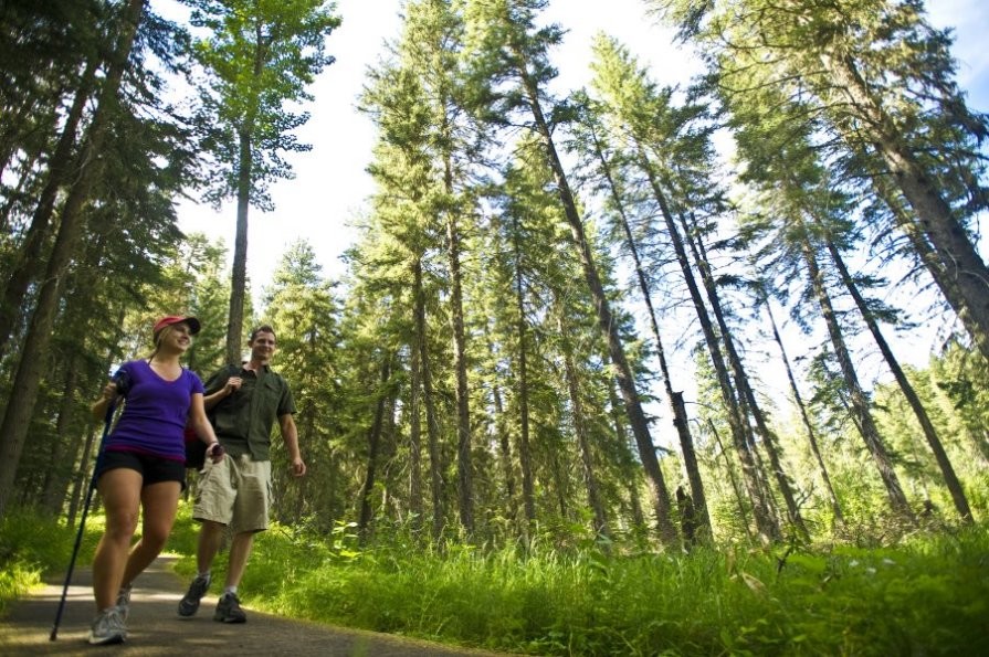
Cypress Hills Provincial Park Trails
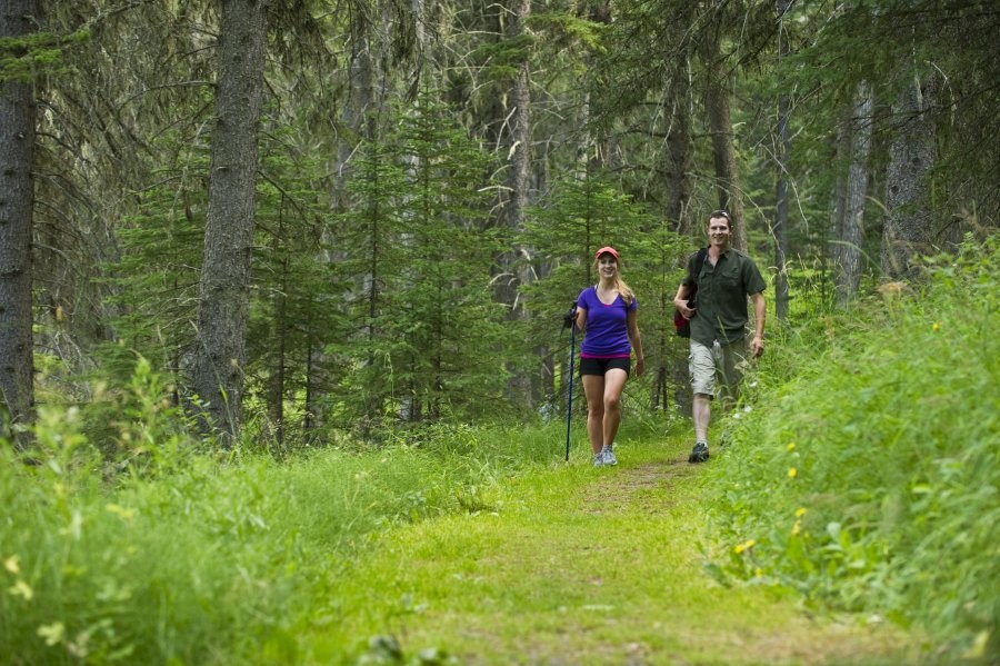
Cypress Hills Provincial Park Trails
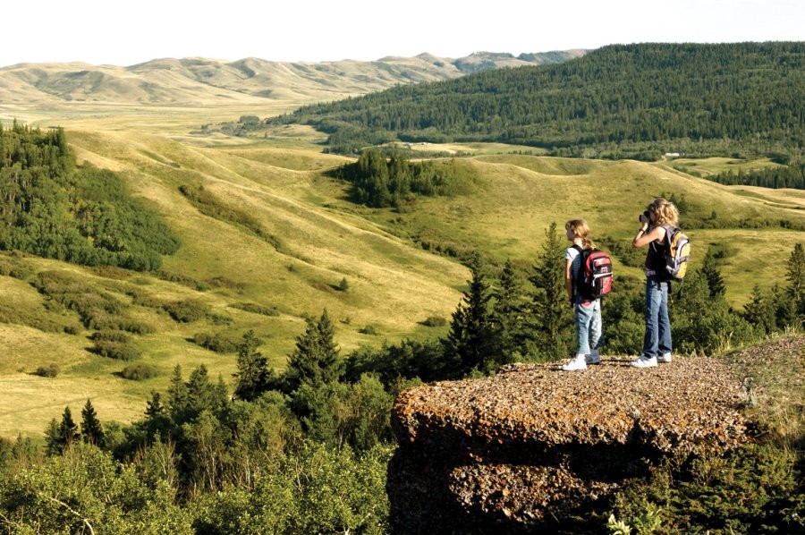
Cypress Hills Interprovincial Park Trails
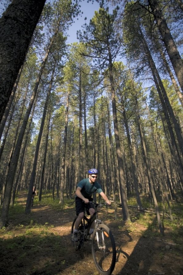
Cypress Hills Provincial Park Trails

Cypress Hills Provincial Park Trails
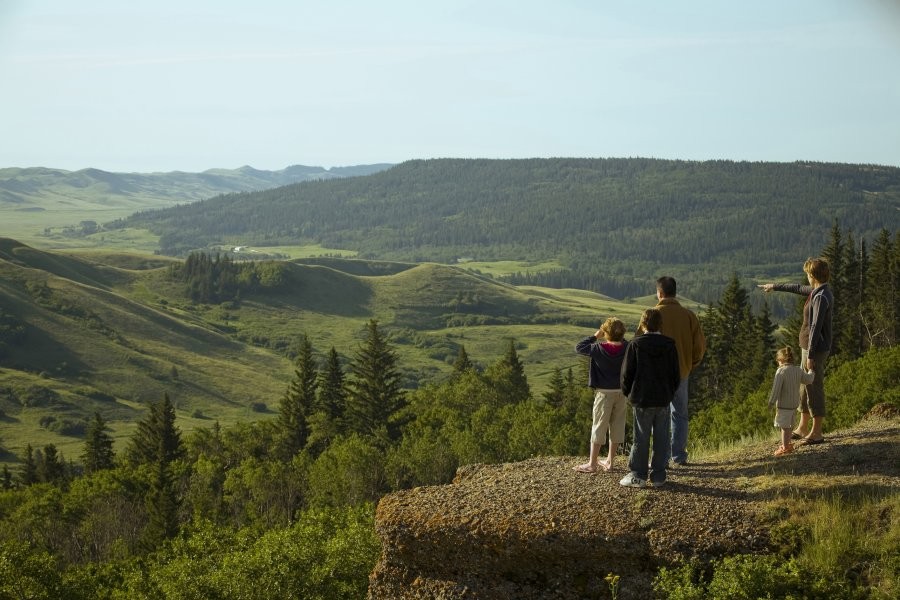
Cypress Hills Provincial Park Trails
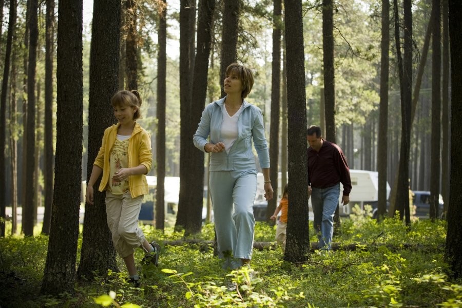
Cypress Hills Provincial Park Trails

Cypress Hills Interprovincial Park Trails
An extensive network of trails is present in both the Centre and West Blocks of the Cypress Hills Interprovincial Park. The Centre Block has 27 km of trails that provide the opportunity for visitors to hike the back-country, where you are guaranteed to see nature untamed. The park is also one of two provincial parks with services for equestrian trail users.
A network of paved trails within the core area allows visitors to hike or bike between campgrounds and to the beach, resort and pool. Self-guided nature trails with interpretive signage are also situated in the core area.
Highland Rotary Trail: located near the south end of Loch Lomond, follows the shoreline of Lonepine Creek. Interpretive panels speak to the variety of ecosystems and vegetation of the Cypress Uplands. Allow 45 minutes to enjoy this trail.
Valley of the Windfall Trail: departs from the main beach parking lot and follows the first portion of Woodlands campground access trail. This attractive route passes through a marsh area where a wealth of bird life can be observed. The second leg of the trail traverses a lodgepole pine forest, where many unique sub-alpine plants and flowers can be found. A full hour should be set aside for this pleasant stroll.
Whispering Pines Trail: focuses on forest management and vegetation. Several scenic view points make great rest stops along the trail. The trail departs from the picnic shelter at the north end of Loch Leven.
Native Prairie Trail: features interpretation of this very special native prairie habitat. Two grassland habitats are represented here, including mixed-grass prairie and fescue prairie. Affected by seasonal changes of drought, rain, grazing and fire, the native prairie continues to evolve, fully protected within Cypress Hills Interprovincial Park. Two spectacular view points look out over the GAP area and the prairie below the hills. This trail is located 500 m south of Bald Butte turn-off and is approximately 2 km in length.
For the seasoned hiker, the Trans Canada Trail transects the park. In the Centre Block, this trail covers over 16 km of rugged country-side, and challenges the fittest of outdoorsman. Be prepared for this one - it is worth the effort. In the West Block, this trail is also most difficult, but offers unparalleled views of this wilderness park. The Hidden Conglomerates are a must-see and are only accessible by taking this trail. This trail is shared between hikers and equestrian riders. Cypress Hills equestrian camping is located in the West Block in the designated campground. Picnic tables, barbecues, garbage cans, outhouses, drinking water and horse corrals and tie stalls are provided. Trail maps and trail/road information are available at the West Block Ranger Station, (306) 662-5489.
In winter, there are 27 km of cross-country ski trails in the Centre block, with approximately 15 km of these trails being groomed. Snowmobiling is permitted when snow depth is 30 cm (12 inches) or more. The 6 sq. km of ungroomed area begins at the ball diamond and offers a full range of scenic challenges including hills, coulees and aspen/pine forest.
Moose, elk, deer and antelope are permanent residents of the park, and are commonly observed. Bring your camera!
South - Cypress Hills Interprovincial Park


