South - Fort Qu'Appelle
Public Trails, Trans Canada Trail
Add to Suitcase
Along Hwy 56.
Latitude: 50.75465° N,
Longitude: -103.7033° W
Longitude: -103.7033° W
Lebret - Standing Buffalo First Nation - Tansi Trans Canada Trail
Lebret - Standing Buffalo First Nation - Tansi Trans Canada Trail
Lebret - Standing Buffalo First Nation - Tansi Trans Canada Trail
Lebret - Standing Buffalo First Nation - Tansi Trans Canada Trail
Lebret - Standing Buffalo First Nation - Tansi Trans Canada Trail
Lebret - Standing Buffalo First Nation - Tansi Trans Canada Trail
Lebret - Standing Buffalo First Nation - Tansi Trans Canada Trail
Lebret - Standing Buffalo First Nation - Tansi Trans Canada Trail (The Great Trail)
Lebret - Standing Buffalo First Nation - Tansi Trans Canada Trail (The Great Trail)
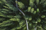
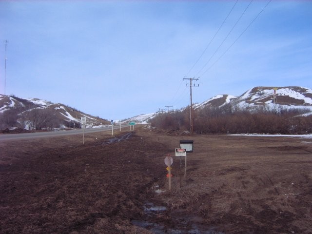
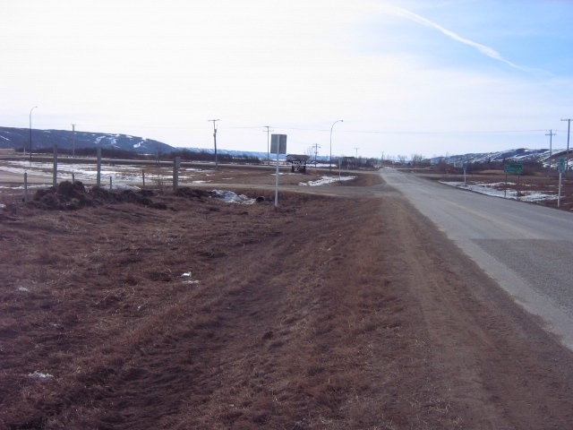
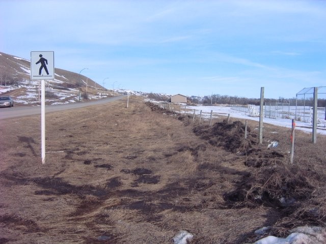
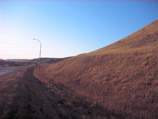
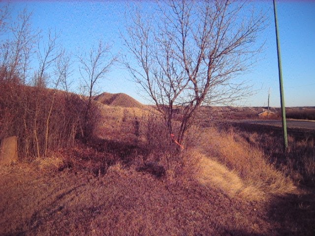
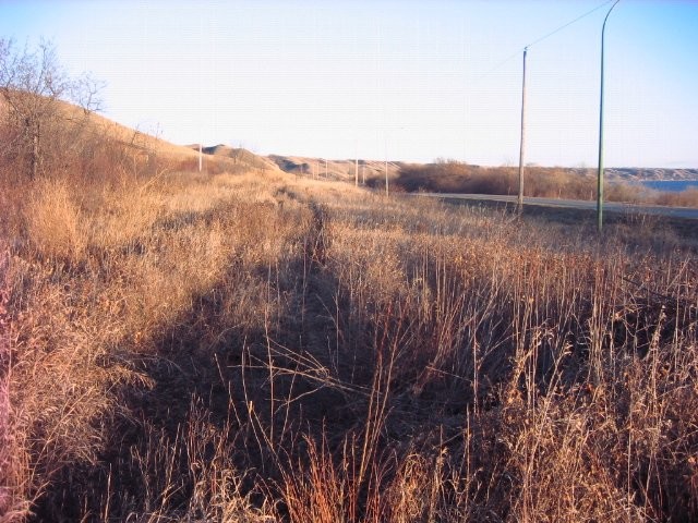
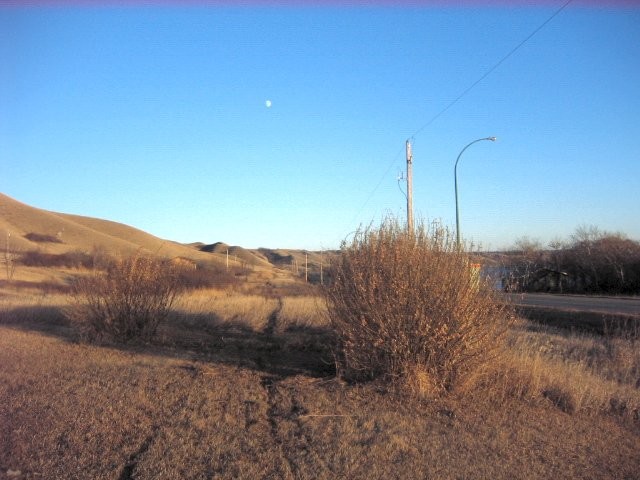
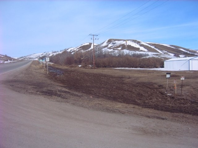
The Tansi portion of the Trans Canada Trail connects the communities of Lebret, Fort San, Fort Qu’Appelle and Standing Buffalo First Nation with the Echo Valley Provincial Park. This portion of the Trans Canada Trail is well-maintained and runs through the picturesque Qu'Appelle Valley. It consists of more than 19 km of trail that is perfect for horseback riding, walking, hiking, cycling, jogging, cross-country skiing, snowmobiling and ATVing. The trail is mainly flat, well-marked and features a variety of terrain, including natural grass, gravel and pavement.
South - Fort Qu'Appelle
The Tansi portion of the Trans Canada Trail connects the communities of Lebret, Fort San, Fort Qu’Appelle and Standing Buffalo First Nation with the Echo Valley Provincial Park. This portion of the Trans Canada Trail is well-maintained and runs through the picturesque Qu'Appelle Valley. It consists of more than 19 km of trail that is perfect for horseback riding, walking, hiking, cycling, jogging, cross-country skiing, snowmobiling and ATVing. The trail is mainly flat, well-marked and features a variety of terrain, including natural grass, gravel and pavement.
Contact Info
Phone:
306-332-6545 |
villageoflebret@sasktel.net