Central - Yorkton
Public Trails
Add to Suitcase
Trailhead: Cherrydale Golf Inc, 10 km SE of Yorkton on Hwy 16, 3.2 km N on Cherrydale Rd.
Latitude: 51.1825° N,
Longitude: -102.3497° W
Longitude: -102.3497° W

Yorkton - Cherrydale Birding Trail

Yorkton - Cherrydale Birding Trail

Yorkton - Cherrydale Birding Trail
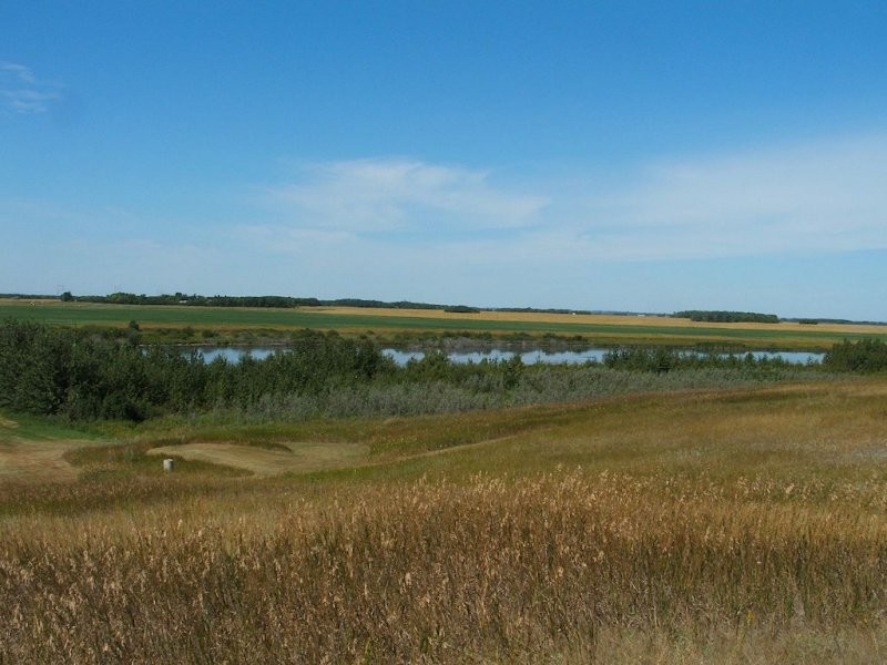
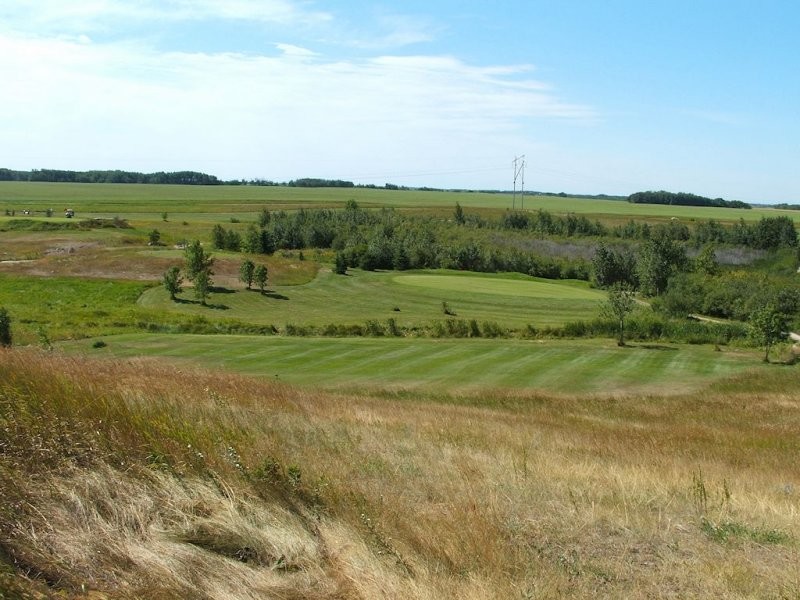
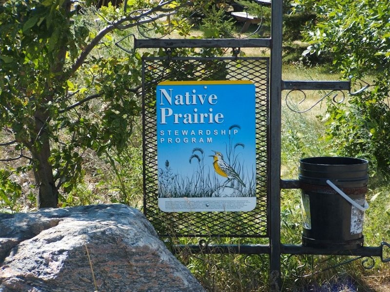
The Cherrydale Birding Trail is part of the Yellowhead Flyway Birding Trail Association’s extensive trail network. This beautiful walking trail travels through 40 acres of native prairie preserve that is home to more than 60 species of native flowers and plants, 30 acres of natural wetlands and plenty of duck, waterfowl, bird and small animal species, making it a true nature lover's paradise.
The trailhead is located at Cherrydale Golf Course near the city of Yorkton, and visitors are encouraged to give a donation of their choice to help support the conservation of this natural area.
The trailhead is located at Cherrydale Golf Course near the city of Yorkton, and visitors are encouraged to give a donation of their choice to help support the conservation of this natural area.
Central - Yorkton


