South - Cypress Hills Interprovincial Park
Natural Attraction
+
Add to Suitcase
Tourism Saskatchewan
From park office, travel 1.9 km W on Cypress Dr to Cypress Hills Riding Academy, turn N onto Bald Butte Rd and travel 7 km. Road goes to both lookout points.
Latitude: 49.681143° N,
Longitude: -109.563242 ° W

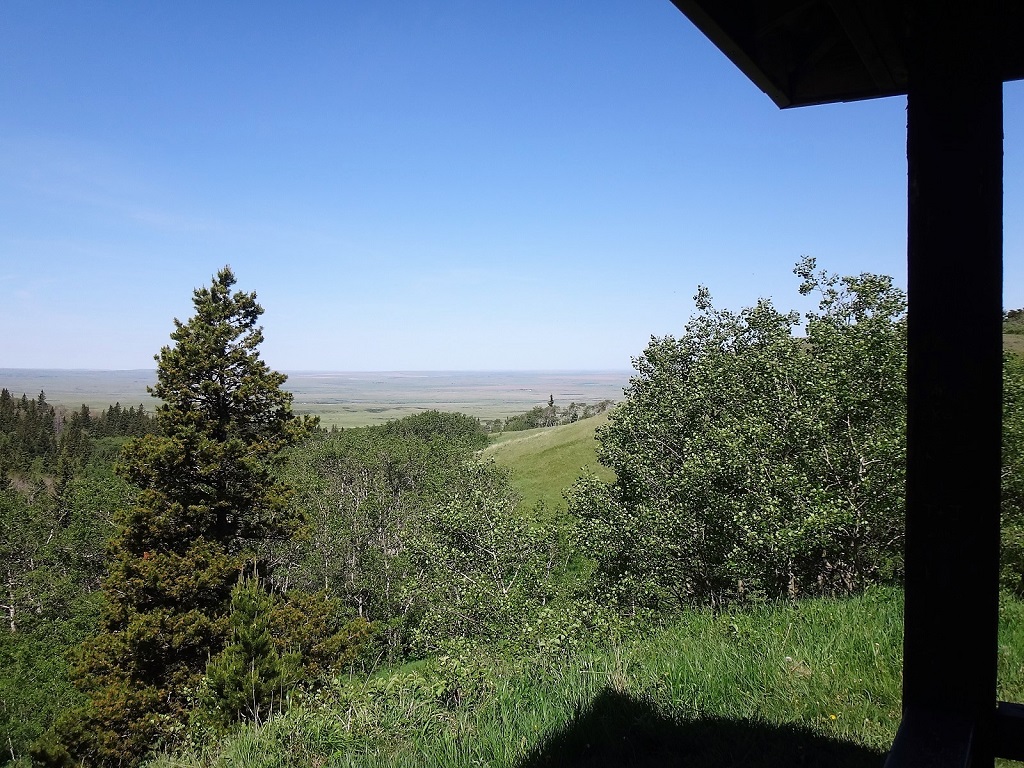
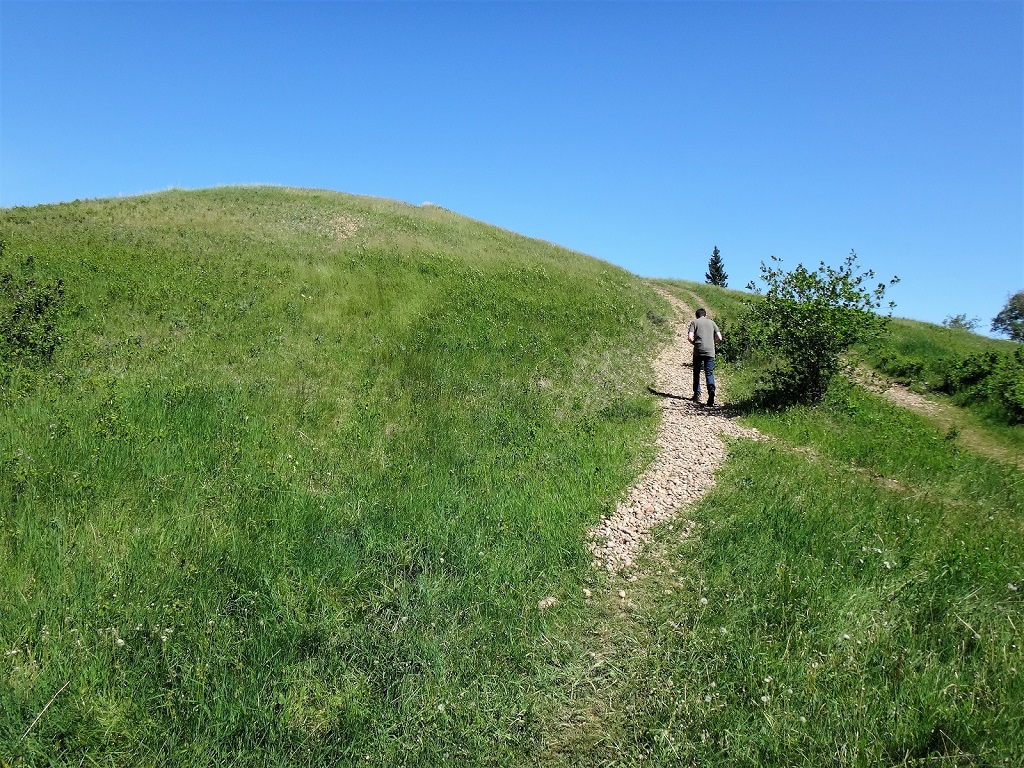
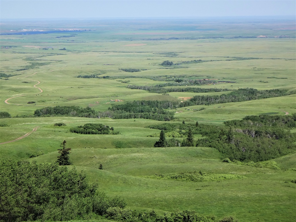
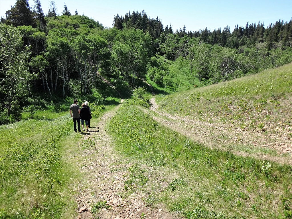
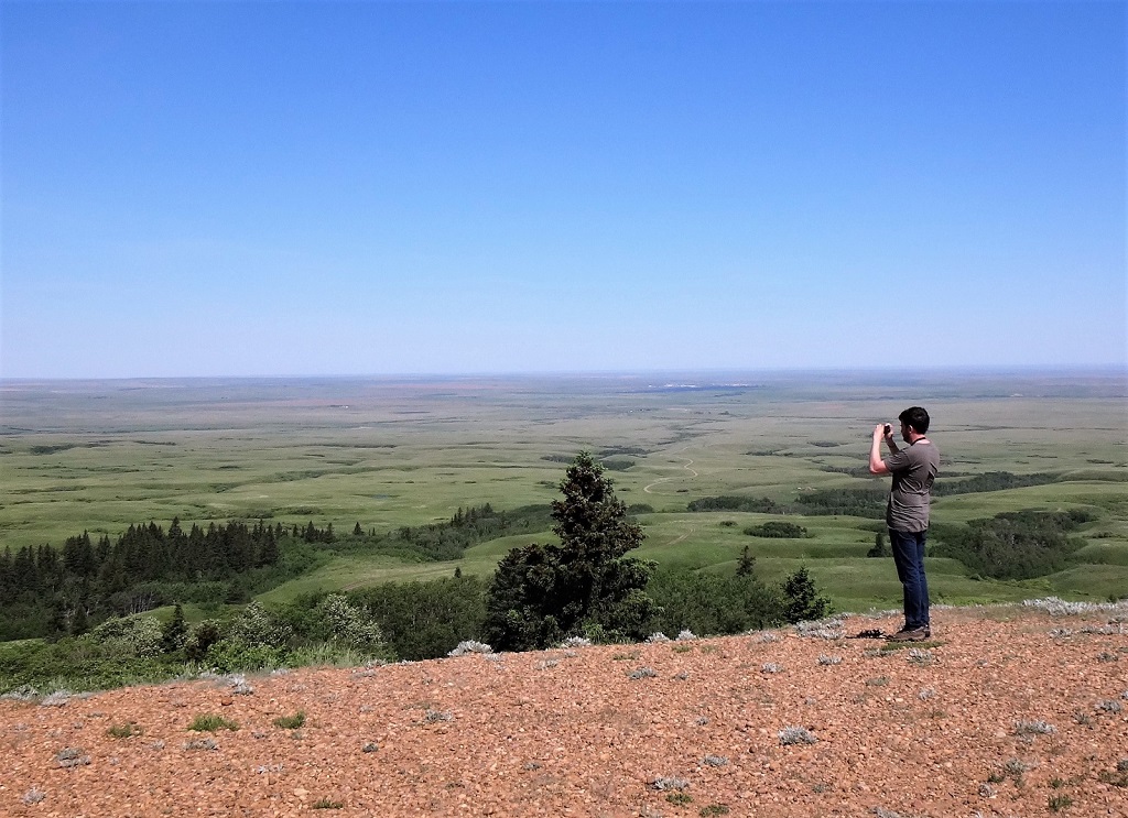
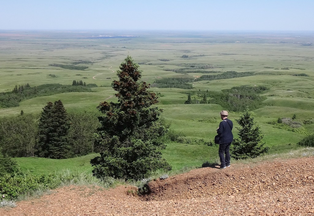
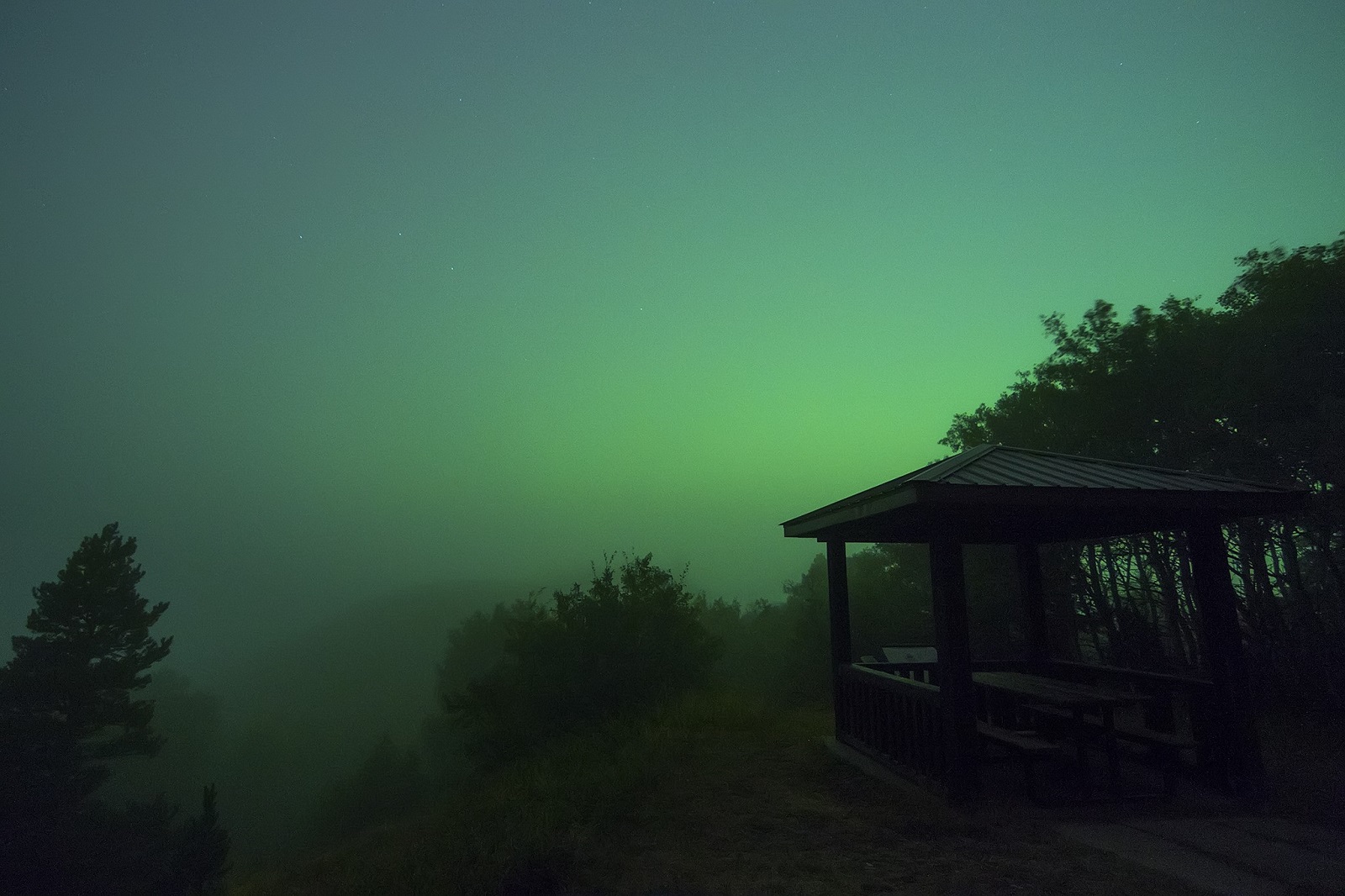
​Measuring 1,281 metres, Bald Butte is the highest point in the Centre Block of the Cypress Hills Interprovincial Park. Bald Butte and Lookout Point, located 1 km apart, offer park visitors spectacular, year-round views. Hikers, mountain bikers and cross-country skiers are treated to a variety of local flora and fauna. Parking available at both locations.

SHOW MORE

Rates And Discounts

​Park entrance fees apply.

Access

  • Country / Rural

Services

  • Self-guided tour

Amenities

  • Interpretive signage

Activities

  • Birding / Wildlife viewing
  • Birdwatching
  • Cross-country skiing
  • Cycling
  • Hiking

Maps & Docs

Contact Info

Phone(s): 306-662-5411 |
cypresshills@gov.sk.ca

From park office, travel 1.9 km W on Cypress Dr to Cypress Hills Riding Academy, turn N onto Bald Butte Rd and travel 7 km. Road goes to both lookout points.

Latitude: 49.681143° N, Longitude: -109.563242 ° W

South - Cypress Hills Interprovincial Park
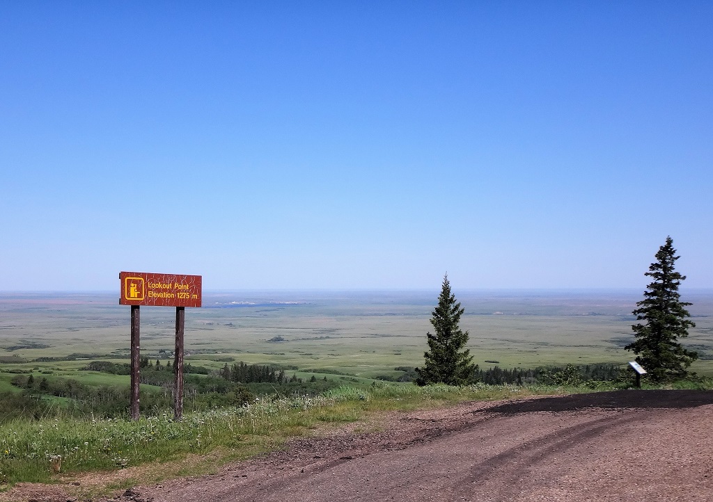
​Measuring 1,281 metres, Bald Butte is the highest point in the Centre Block of the Cypress Hills Interprovincial Park. Bald Butte and Lookout Point, located 1 km apart, offer park visitors spectacular, year-round views. Hikers, mountain bikers and cross-country skiers are treated to a variety of local flora and fauna. Parking available at both locations.

SHOW MORE

Location Information

From park office, travel 1.9 km W on Cypress Dr to Cypress Hills Riding Academy, turn N onto Bald Butte Rd and travel 7 km. Road goes to both lookout points.

View on map >

lat. 49.681143° N, long. -109.563242 ° W

Contact Info

Phone: 306-662-5411 |
cypresshills@gov.sk.ca