South - Cypress Hills Interprovincial Park
Natural Attraction
+
Add to Suitcase
Tourism Saskatchewan
53 km SW of Maple Creek on Hwy 271, at Fort Walsh National Historic Site turnoff continue W and then N. Watch for signage.
Latitude: 49.646718° N,
Longitude: -109.848382° W
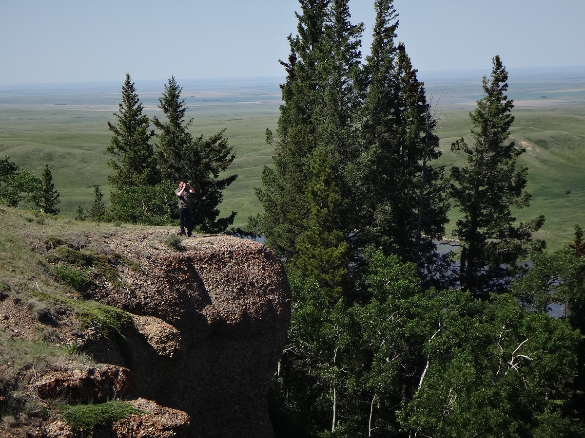
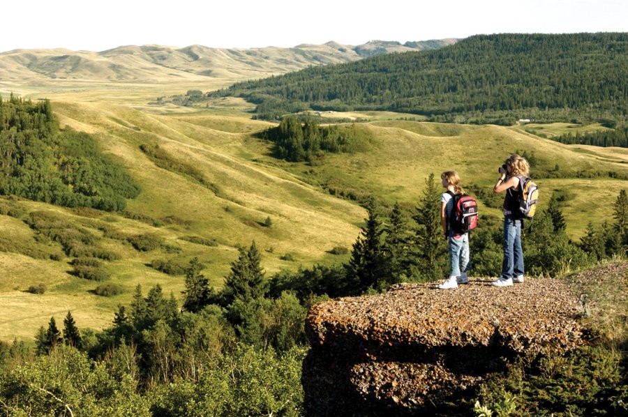
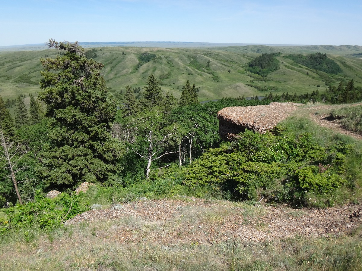
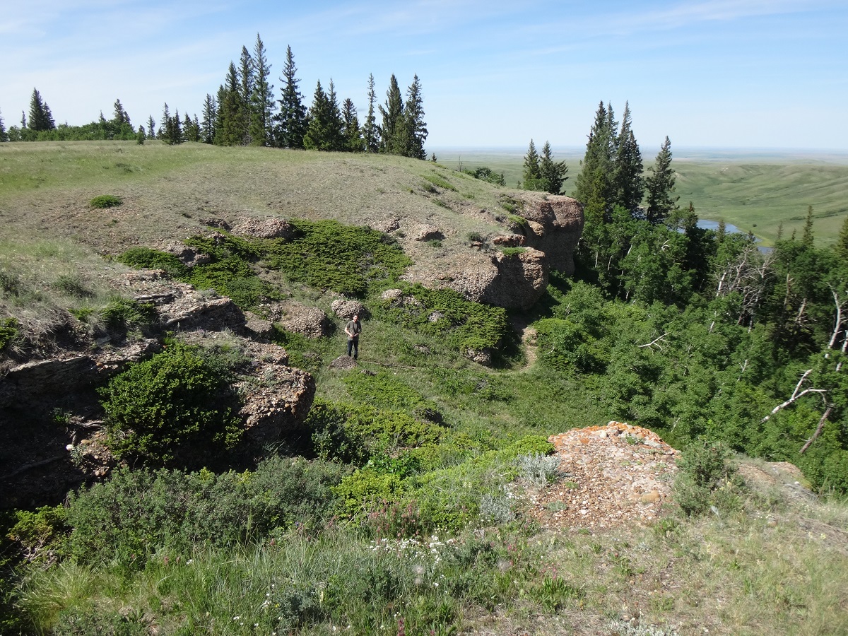
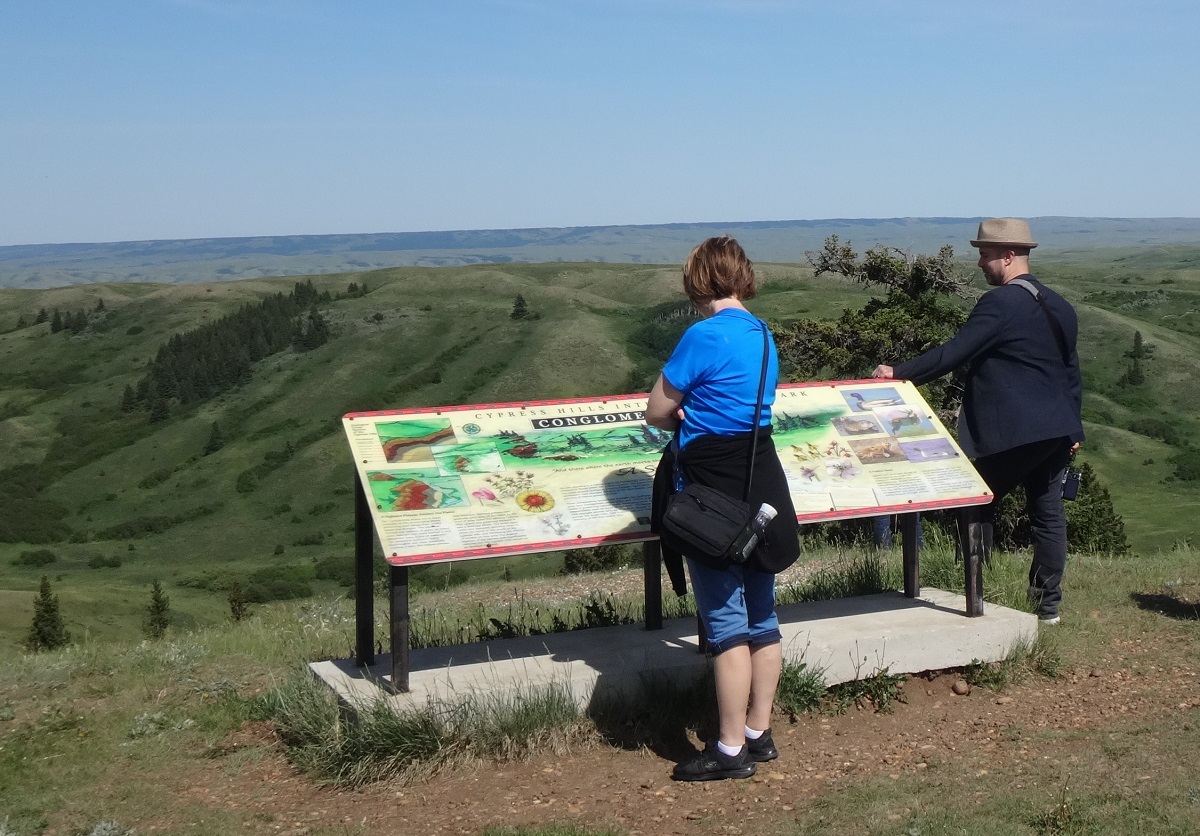
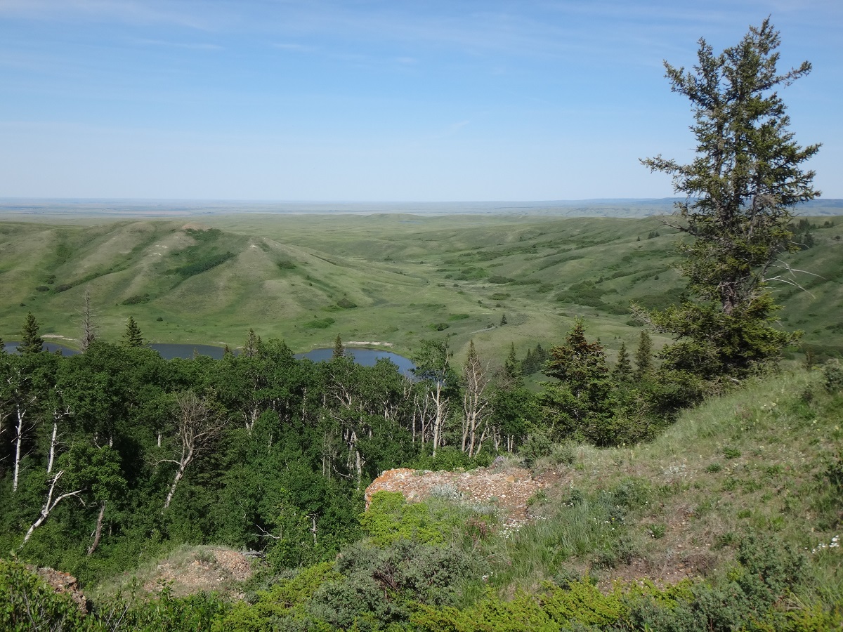
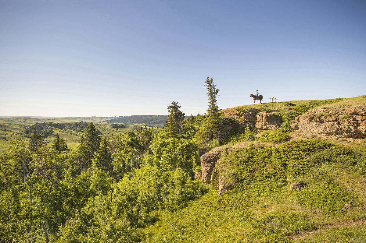
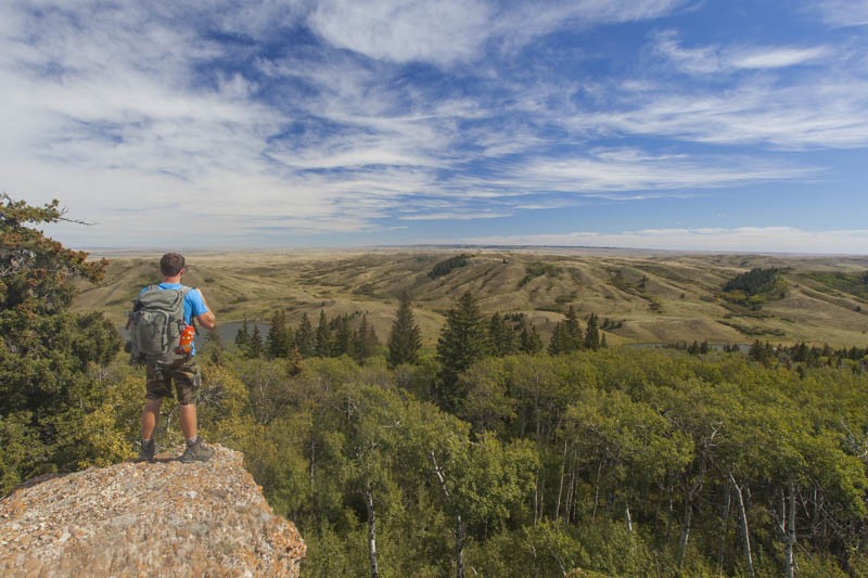
A visit to the Cypress Hills Interprovincial Park isn't complete without experiencing the park's "must see" natural attraction, the Conglomerate Cliffs. Located in the West Block Wilderness Area of the park, just a short drive from Fort Walsh National Historic Site, the cliffs are made up of a combination of gravel and stones known as "cobbles." The exposed edges of the cliffs have been eroded leaving steep banks with millions of pebbles looking like they are encased in concrete. The surrounding hilly slopes are covered in spruce, pine and aspen trees along with a variety of flowers. Great bird and wildlife viewing area.
 
Stop at the Park Visitor Centre in the Centre Block for further information. Refer to park's trail map, West Block and Equestrian, for details.
SHOW MORE
Saskatchewan Tourism

Saskatoon Custom Bird Tours | Cypress Hills – Grasslands National Park Birding Tours

Grasslands National Park, Cypress Hills Interprovincial Park, Cypress Hills

May 10, 2025 to Nov 15, 2025

Join experienced local birding guide, Stan Shadick from Saskatoon Custom Bird Tours, for any of a variety of birding tours visiting Saskatchewan's Great Sandhills, Cypress Hills and/or Grasslands National Park. Both novice and experienced birdwatchers are welcome. The tours take in the best birding hotspots in southwestern Saskatchewan.
The tours begin in Saskatoon but can also be joined at Swift Current or Maple Creek. Package price includes guiding services for each group of 1-4 persons travelling in a single vehicle.​
Show more
+
Add to Suitcase

STARTING AT:
$1490

Rates And Discounts

Park entry fees apply.

Access

  • Backcountry

Services

  • Estimated viewing time (hours): 2
  • Self-guided tour

Amenities

  • Interpretive signage

Activities

  • Birding / Wildlife viewing
  • Hiking

Contact Info

Phone(s): 306-662-5411 |
cypresshills@gov.sk.ca

53 km SW of Maple Creek on Hwy 271, at Fort Walsh National Historic Site turnoff continue W and then N. Watch for signage.

Latitude: 49.646718° N, Longitude: -109.848382° W

South - Cypress Hills Interprovincial Park
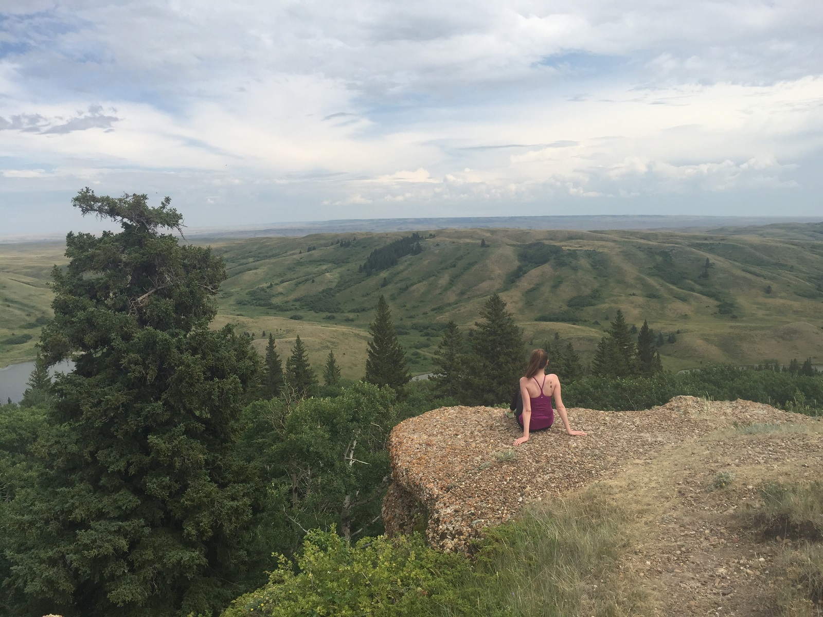
A visit to the Cypress Hills Interprovincial Park isn't complete without experiencing the park's "must see" natural attraction, the Conglomerate Cliffs. Located in the West Block Wilderness Area of the park, just a short drive from Fort Walsh National Historic Site, the cliffs are made up of a combination of gravel and stones known as "cobbles." The exposed edges of the cliffs have been eroded leaving steep banks with millions of pebbles looking like they are encased in concrete. The surrounding hilly slopes are covered in spruce, pine and aspen trees along with a variety of flowers. Great bird and wildlife viewing area.
 
Stop at the Park Visitor Centre in the Centre Block for further information. Refer to park's trail map, West Block and Equestrian, for details.

SHOW MORE

Location Information

53 km SW of Maple Creek on Hwy 271, at Fort Walsh National Historic Site turnoff continue W and then N. Watch for signage.

View on map >

lat. 49.646718° N, long. -109.848382° W

Contact Info

Phone: 306-662-5411 |
cypresshills@gov.sk.ca

Travel Offers

Saskatoon Custom Bird Tours | Cypress Hills – Grasslands National Park Birding Tours

May 10, 2025 to Nov 15, 2025

STARTING AT: $1490

OFFER DETAILS >
BOOK NOW >