South - Weyburn
Public Trails, Municipal / Regional Park
Add to Suitcase
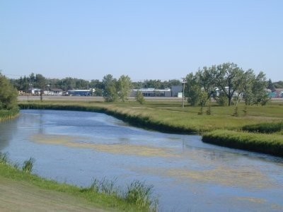
Adjacent to the Souris River as it meanders through the city of Weyburn.
Latitude: 49.65589° N,
Longitude: -103.8478° W
Longitude: -103.8478° W
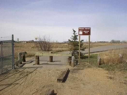
Red Coat Nature Habitat
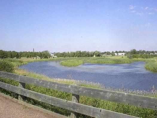
Signal Hill
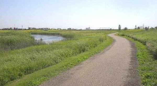
Signal Hill
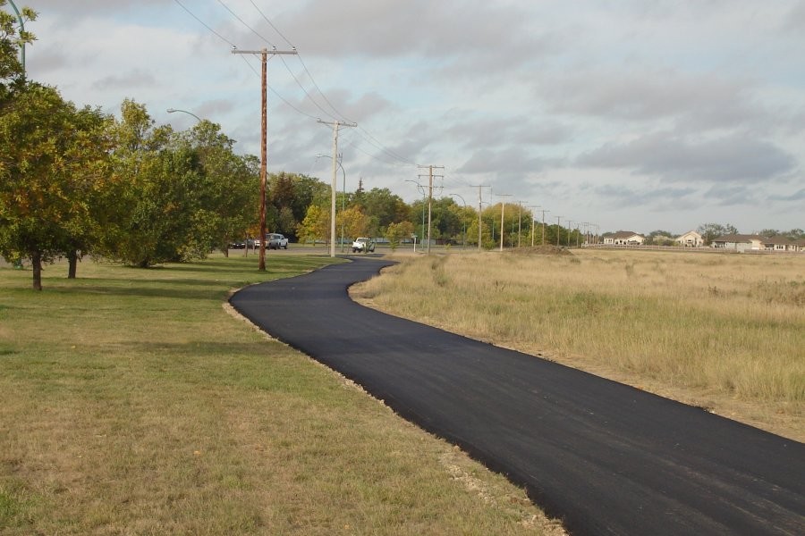
Weyburn - Tatagwa Parkway Trails
Weyburn - Tatagwa Parkway Trails
Weyburn - Tatagwa Parkway Trails
Weyburn - Tatagwa Parkway Trails
Weyburn - Tatagwa Parkway Trails
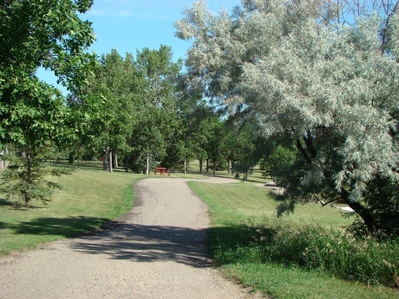
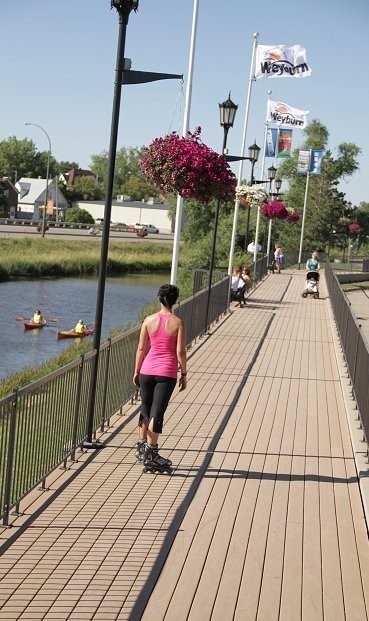
Walking and cycling trails travel throughout the Tatagwa Parkway urban conservation area in Weyburn that encompasses 180 acres of land. Tatagwa Parkway consists of two areas -- the Signal Hill Nature Habitat and the Red Coat Nature Habitat, which are protected from vehicle traffic by post and chain fence. Explore 10 km of picturesque walking and biking trials. Picnic tables and park benches have also been placed throughout the Parkway.
Trails to chose from include the 1.5-km Souris Valley Trail along the wooded Souris Valley, the 2-km Red Coat Trail along the beautiful Souris River, the 3-km Silver Heights Trail that skirts the north edge of Weyburn and the scenic 3-km Signal Hill Trail.
Two islands were created on the Souris River to protect waterfowl. To date, 175 native plant species have been identified and catalogued, some of these species being quite rare. Thirty-six signs, identifying the plant species and wildlife, were recently installed along the trails. In addition, 40,000 various caliber trees have been planted in the Parkway.
South - Weyburn


