Meewasin Valley
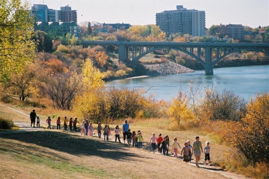
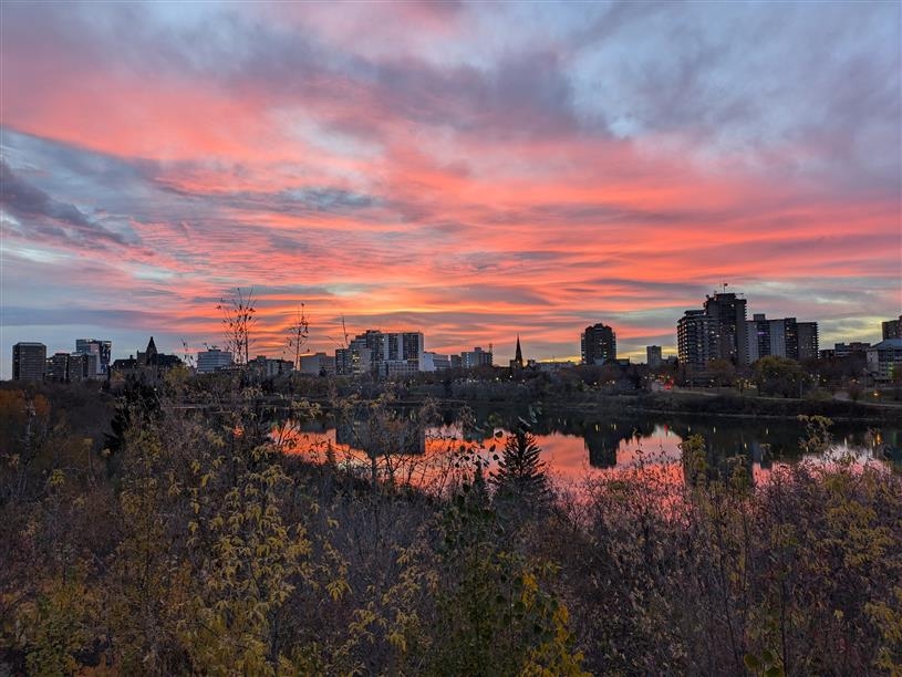
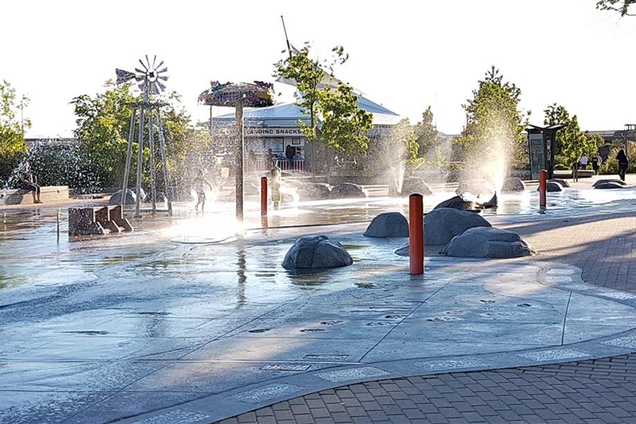
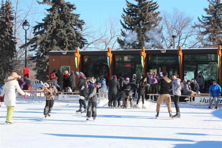
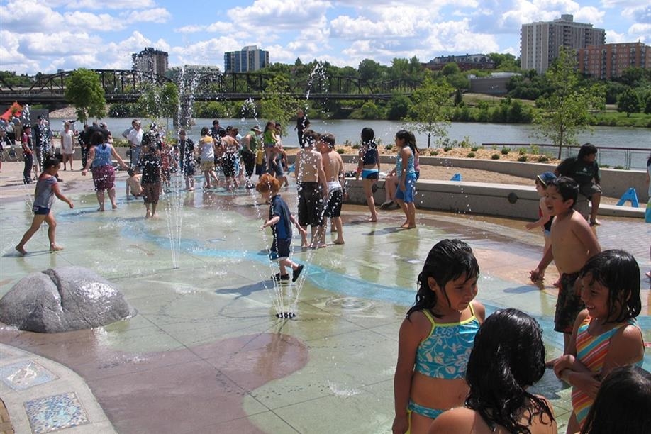
The Meewasin Valley, stretching over 67 sq. km. with more than 105 km of trails, offers a diverse range of activities and stunning sightseeing opportunities in and around Saskatoon. Visitors can enjoy cycling, jogging, cross-country skiing, and walking along the riverbank trails. Notably, parts of the Meewasin Trail are integrated into the Trans Canada Trail, providing a connection to a national network. Beyond the urban trails, explore attractions like the Beaver Creek Conservation Area and the Cameco Skating Rink @Nutrien Plaza, among others.
Please note that amenities, accessibility, and hours vary across different Meewasin Valley sites. Some locations have seasonal access or specific day restrictions, and pet policies may differ. For detailed information, check the Meewasin website or download the Meewasin App before visiting.


