South - Estevan
Scenic / Historic Tour, RCMP / Military
Add to Suitcase
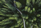
Tours take in the area between Hwy 47 E to Oxbow including Estevan, Bienfait and Roche Percee.
Latitude: 49.14489° N,
Longitude: -102.9966° W
Longitude: -102.9966° W
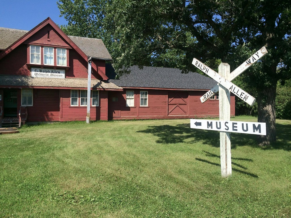
Ralph Allen Memorial Museum
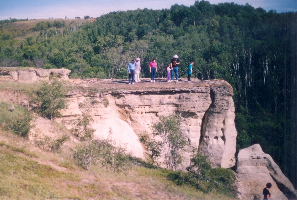
Buffalo Jump — at Roche Percee Valley
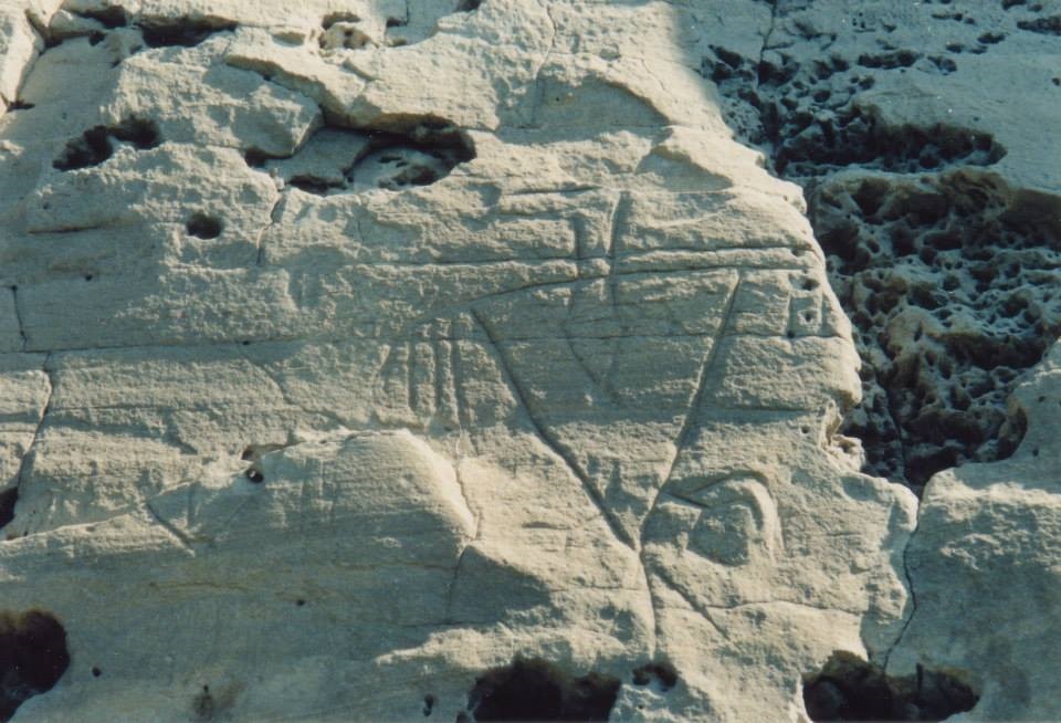
Moccasin Rock with Thunderbirds, east of Roche Percee
Guided tours of the historical and natural attractions of the southeast corner of Saskatchewan are offered through South East Tours & Trails. View sites of the Boundary Commission, North West Mounted Police (NWMP), Indigenous people, coal mining history, historic cemeteries, petroglyphs and more. Individual and group tours plus step-on guide service available. Non-serviced camping.
South - Estevan
Guided tours of the historical and natural attractions of the southeast corner of Saskatchewan are offered through South East Tours & Trails. View sites of the Boundary Commission, North West Mounted Police (NWMP), Indigenous people, coal mining history, historic cemeteries, petroglyphs and more. Individual and group tours plus step-on guide service available. Non-serviced camping.
Location Information
Tours take in the area between Hwy 47 E to Oxbow including Estevan, Bienfait and Roche Percee.
View on map >lat. 49.14489° N, long. -102.9966° W
Contact Info
Phone:
306-634-4622 |
iabeahm@dfx.org