


Maymont - Glenburn Regional Park Trails
Glenburn Regional Park, off Hwy 16, 8 km S of Maymont on Hwy 376, turn E before the River Bridge.
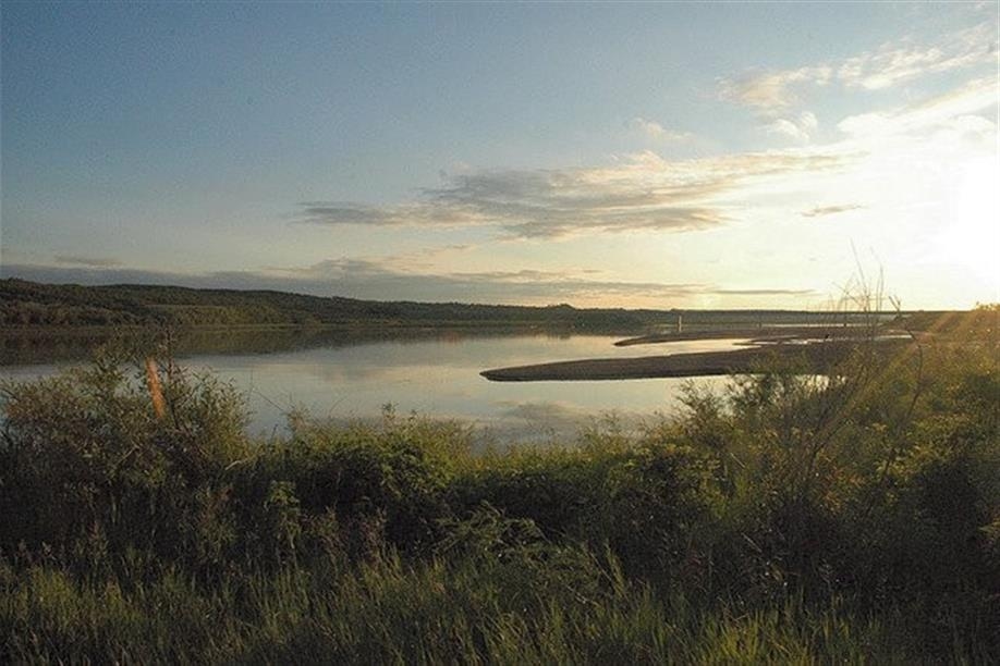
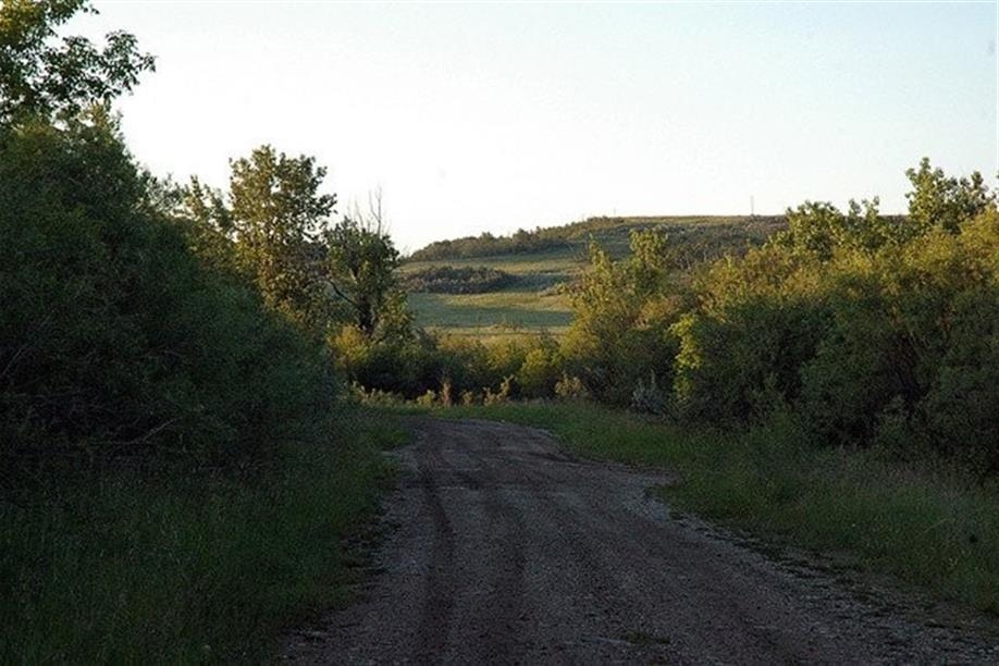
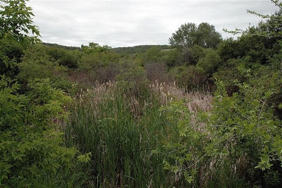
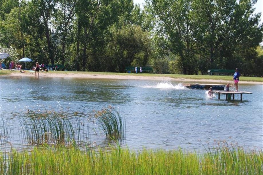
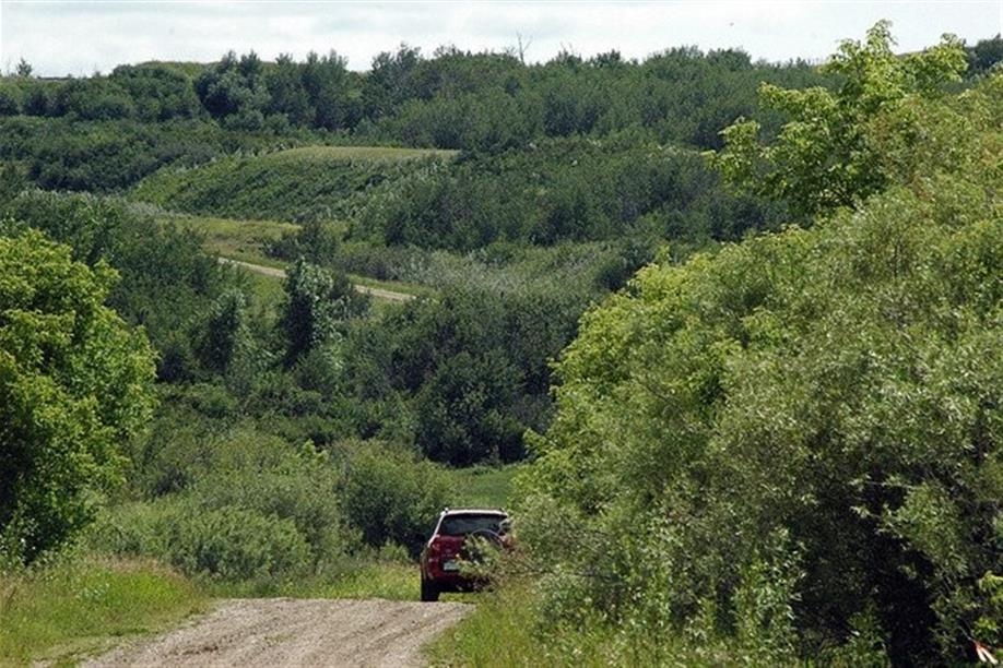
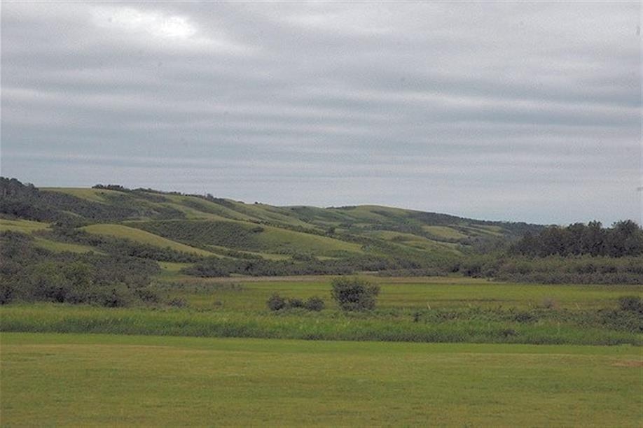
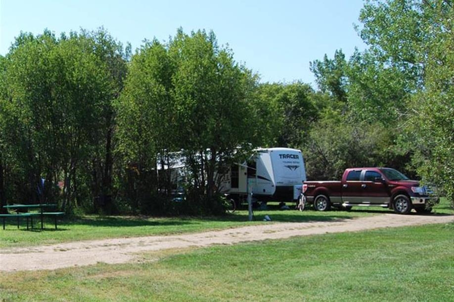
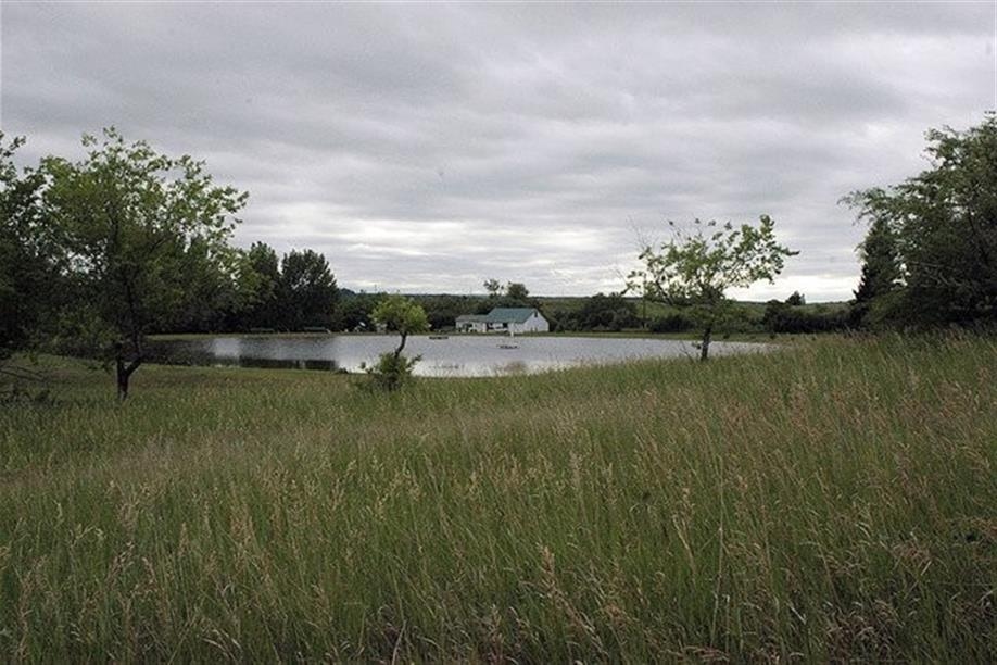
Glenburn Regional Park offers waterways that are smaller in size, ensuring that they are only accessible to canoes, kayaks and paddleboats. The hiking trails are ungroomed during the summer; they consist of level gravel grades, are wheelchair accessible and provide beautiful views of the local river and the park.
Amenities
Canoeing
Hiking