
Central - Edam
Public Trails, Trans Canada Trail
Add to Suitcase
Village of Edam, off Hwy 26.
Latitude: 53.28558° N,
Longitude: -108.8491° W
Longitude: -108.8491° W
Edam Walking Trails
Edam Walking Trails
Edam Walking Trails
Edam Walking Trails
Edam Walking Trails
Edam Walking Trails
Edam Walking Trails
Edam Walking Trails
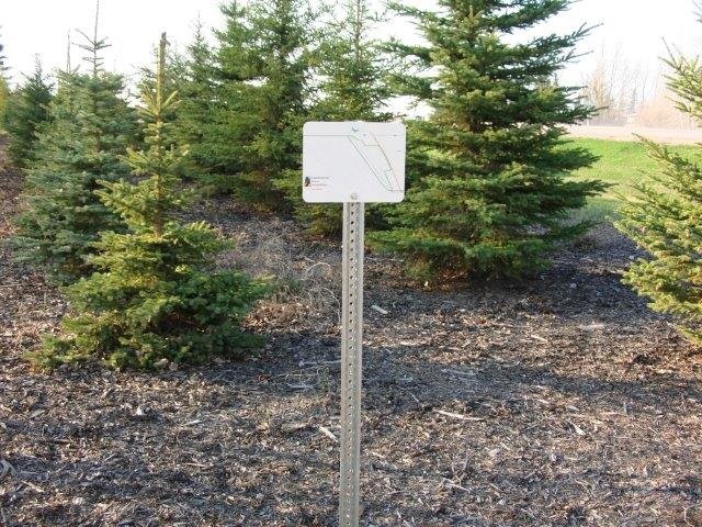
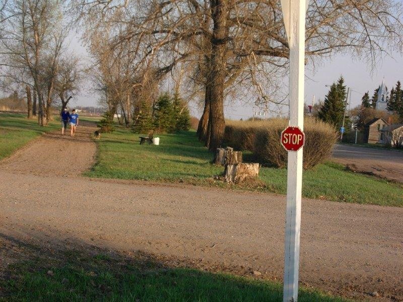
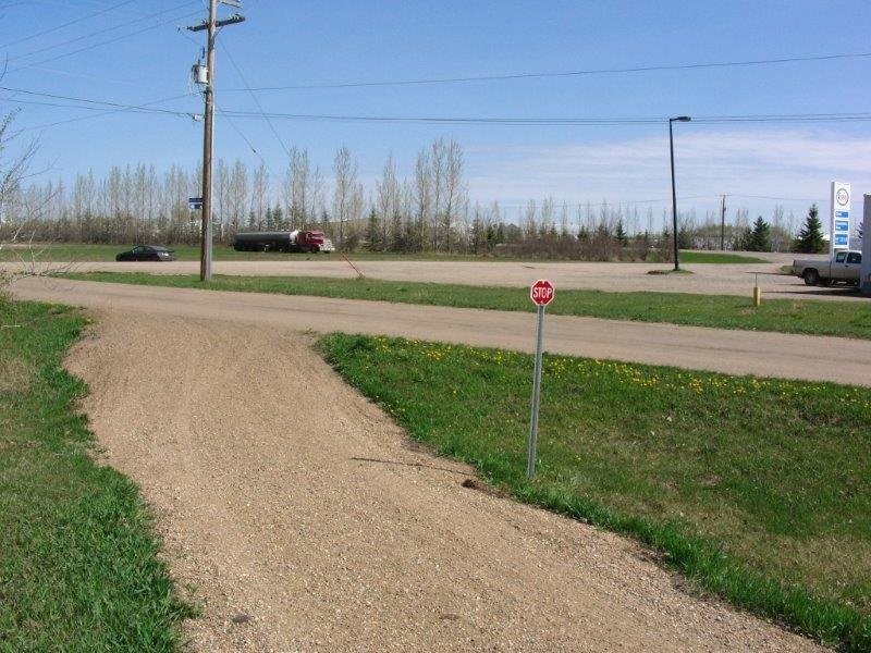
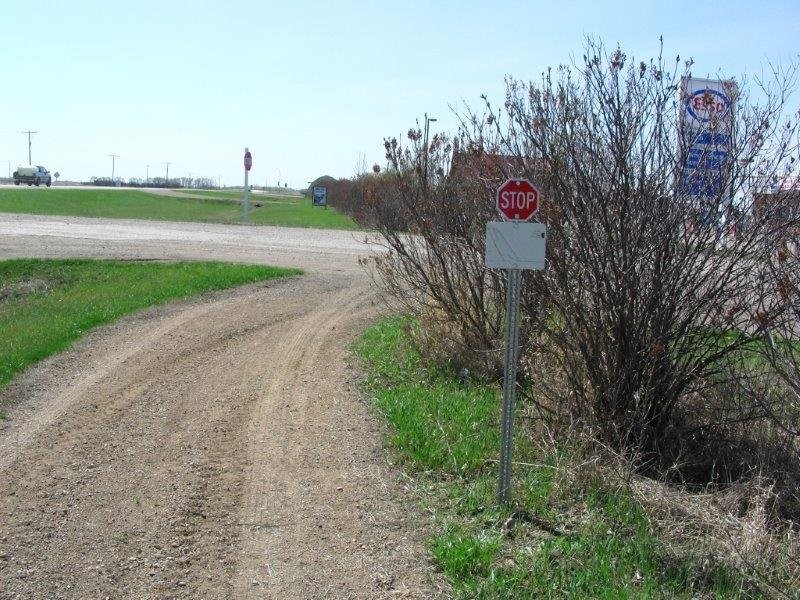
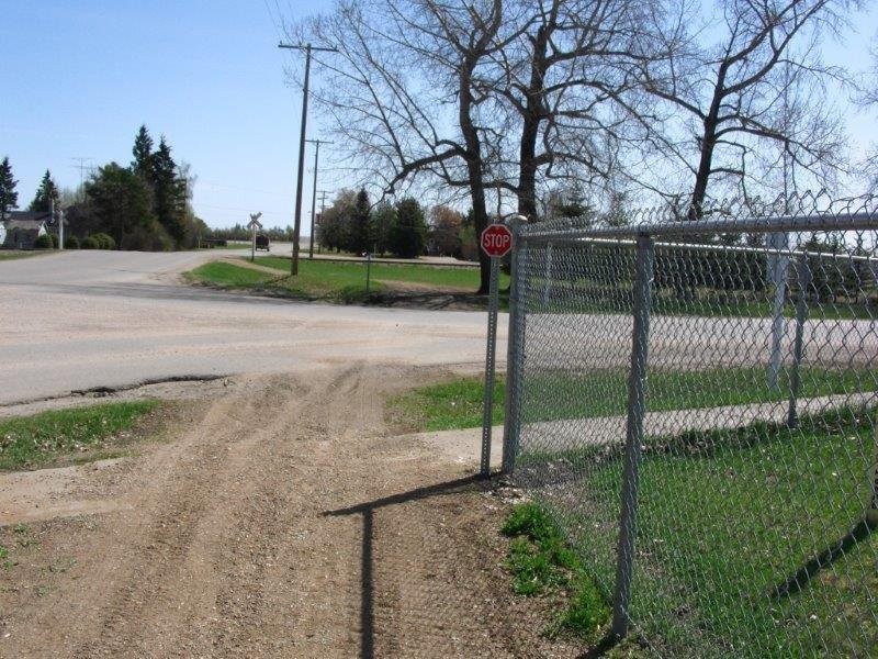
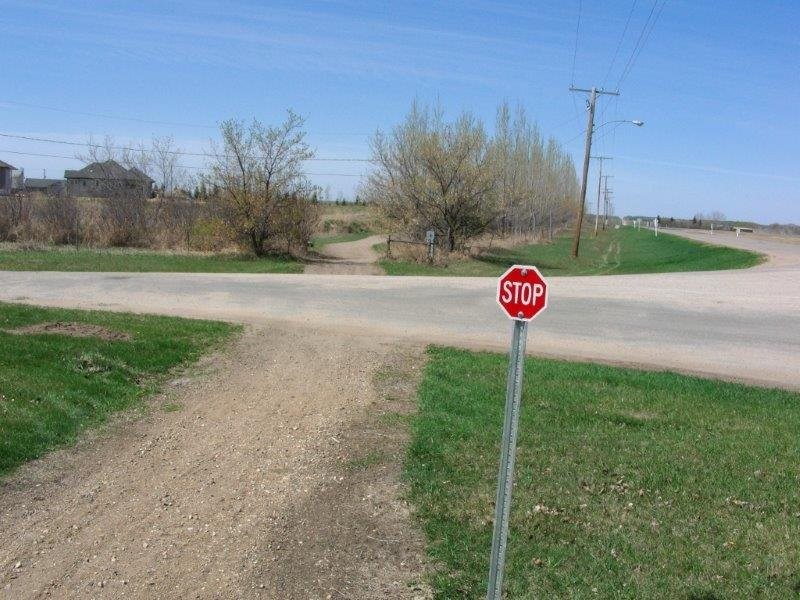
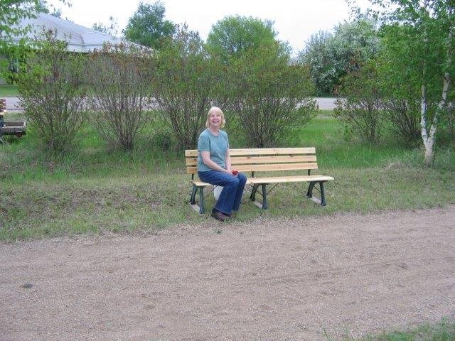
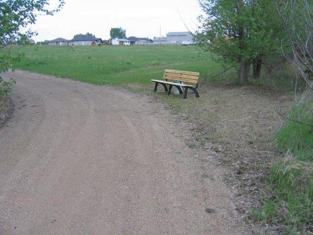
Developed by the Edam Trans Canada Trail Committee, the Edam Walking Trail features 3.4 km of multi-use, gravel trail within the village. An additional 26 km of registered trail following the west ditch of Hwy 26 through the RM of Turtle River is pending development.
Maps & Docs
Central - Edam
Developed by the Edam Trans Canada Trail Committee, the Edam Walking Trail features 3.4 km of multi-use, gravel trail within the village. An additional 26 km of registered trail following the west ditch of Hwy 26 through the RM of Turtle River is pending development.
Location Information
Village of Edam, off Hwy 26.
View on map >lat. 53.28558° N, long. -108.8491° W
Contact Info
Phone:
306-441-3753 |