


Canora Trails
Canora and area.
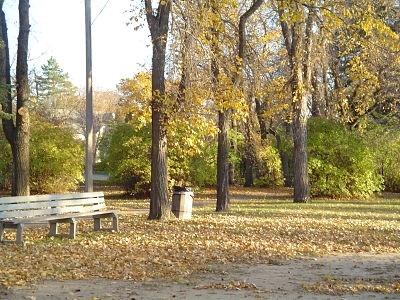
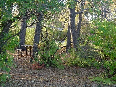
Canora offers an extensive network of trails totaling over 150 km, catering to a variety of outdoor activities. Enthusiasts can explore more than 144 km of groomed snowmobile trails or over 10 km of trails for walking, cycling, jogging, and cross-country skiing. The town's Walking Trail spans 8.6 km and connects to the Urban Habitat Trail and the Trans Canada Trail, each offering unique natural and cultural insights. Visitors can enjoy scenic views, diverse flora and fauna, and cultural sites like the National Doukhobor Heritage Village. Local attractions include The Antique People shop and Canada's Only Toy and Autograph Museum.
Amenities
Cycling
Snowmobiling
Picnic area