North - Candle Lake
Public Trails
Add to Suitcase
Resort Village of Candle Lake, located along Hwy 120.
Latitude: 53.76913° N,
Longitude: -105.3075° W
Longitude: -105.3075° W
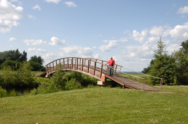
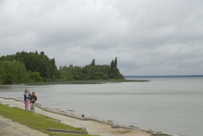
The Resort Village of Candle Lake offers a variety of excellent paved and natural terrain trails for walkers, cyclists and hikers.
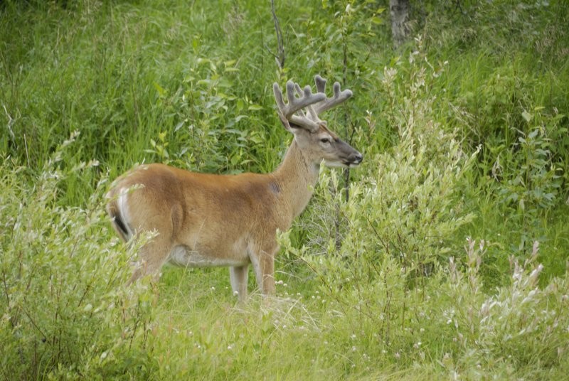
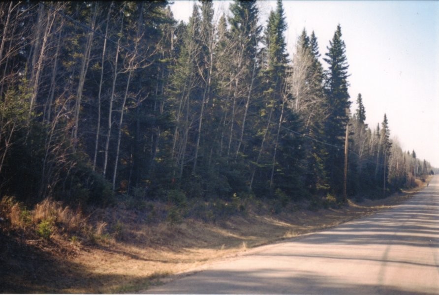
The Waskateena Beach (1.3 km) and West Side Bike trails (2.3 km) are paved and ensure that people of all ages and abilities can get out and enjoy the trails. The Simon Lehne (2 km) and Tapawingo trails (3 km) connect several trails in the area. The Nobles Point Shoreline trail travels through forested areas; visitors are asked to watch for deadfall trees as the trails are not maintained.
The Waskateena Beach (1.3 km) and West Side Bike trails (2.3 km) are paved and ensure that people of all ages and abilities can get out and enjoy the trails. The Simon Lehne (2 km) and Tapawingo trails (3 km) connect several trails in the area. The Nobles Point Shoreline trail travels through forested areas; visitors are asked to watch for deadfall trees as the trails are not maintained.
North - Candle Lake