North - Fond du Lac - E end of Lake Athabasca
Add to Suitcase
Latitude: 59.34862° N,
Longitude: -107.1702° W

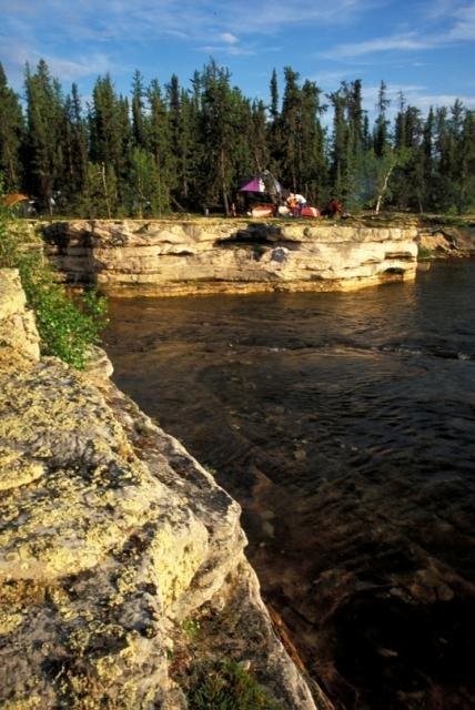
Camping on the Fond du Lac River

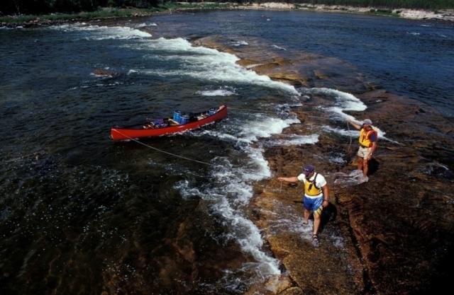
Fond du Lac River

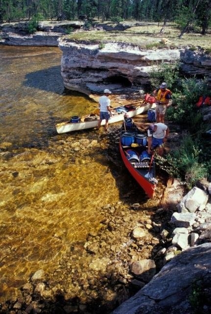
Exploring the Fond du Lac River

Fond du Lac River


The main settlement of the Fond du Lac Denesuline First Nation Reserve is located on the north shore at the eastern end of Lake Athabasca. It is accessible by air year round, by boat in the summer and by an ice road in the winter that connects to Stony Rapids. The founding of the community dates back to the early 1700s during the fur trade. It's name is geographic meaning 'far end of the lake' in the French language - which when translated means 'bottom of the lake."
TRAVELLER INFO
First Nation of Fond du Lac Band office, Mon to Fri 9 a.m. - 5 p.m.
306-686-2102
Email: admin@fonddulac.ca
North - Fond du Lac - E end of Lake Athabasca

Camping on the Fond du Lac River

Fond du Lac River

Exploring the Fond du Lac River

Fond du Lac River


The main settlement of the Fond du Lac Denesuline First Nation Reserve is located on the north shore at the eastern end of Lake Athabasca. It is accessible by air year round, by boat in the summer and by an ice road in the winter that connects to Stony Rapids. The founding of the community dates back to the early 1700s during the fur trade. It's name is geographic meaning 'far end of the lake' in the French language - which when translated means 'bottom of the lake."
Fond du Lac
Latitude: 59.34862° N,
Longitude: -107.1702° W
TRAVELLER INFO
First Nation of Fond du Lac Band office, Mon to Fri 9 a.m. - 5 p.m.
306-686-2102
Email: admin@fonddulac.ca