

Kindersley Community Walking Trail
Kindersley.
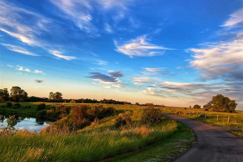
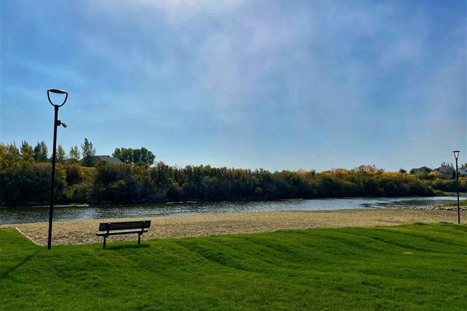
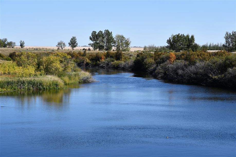
The Kindersley Community Walking Trail is a paved trail that links the town's regional park to the Motherwell Reservoir. The 4.2-km trail system is wheelchair accessible and offers breathtaking views, plenty of parking, picnic spaces and benches. It is perfect for walking, in-line skating, jogging, birdwatching, canoeing and cycling in the spring, summer and fall, and cross-country skiing in the winter. The Motherwell Beach & Recreation Area includes a beach area with sand, a beach volleyball court and a shower house.
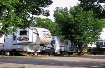
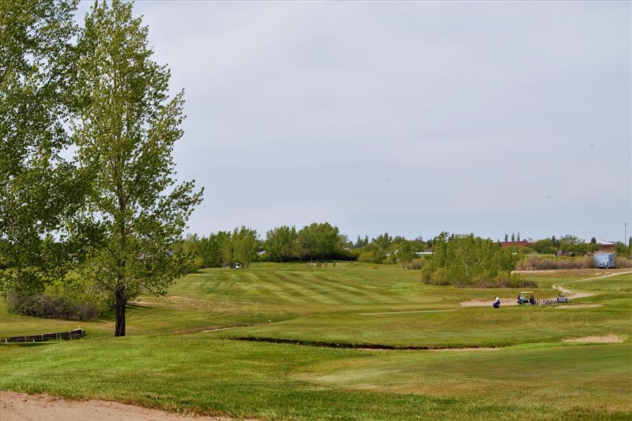
The Kindersley Regional Park, located within the town's limits, is a popular destination for hiking, camping, golfing and tobogganing.
The Kindersley Regional Park, located within the town's limits, is a popular destination for hiking, camping, golfing and tobogganing.
Amenities
Pet friendly
Canoeing
Cycling
Hiking
Picnic area