North - Pasquia Hills
Natural Attraction, Public Trails
+
Add to Suitcase
Tourism Saskatchewan
Trail head at the bridge over Rice River Canyon, 94 km E of Carrot River on Highway 55.
Latitude: 53.516075° N,
Longitude: -102.405958° W
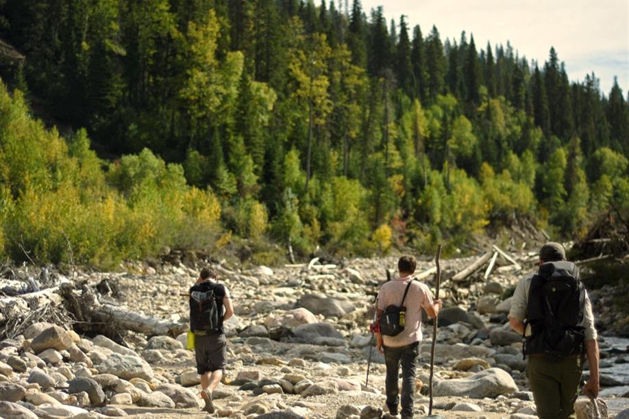
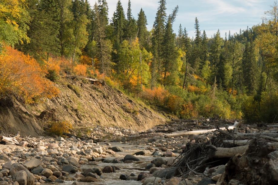
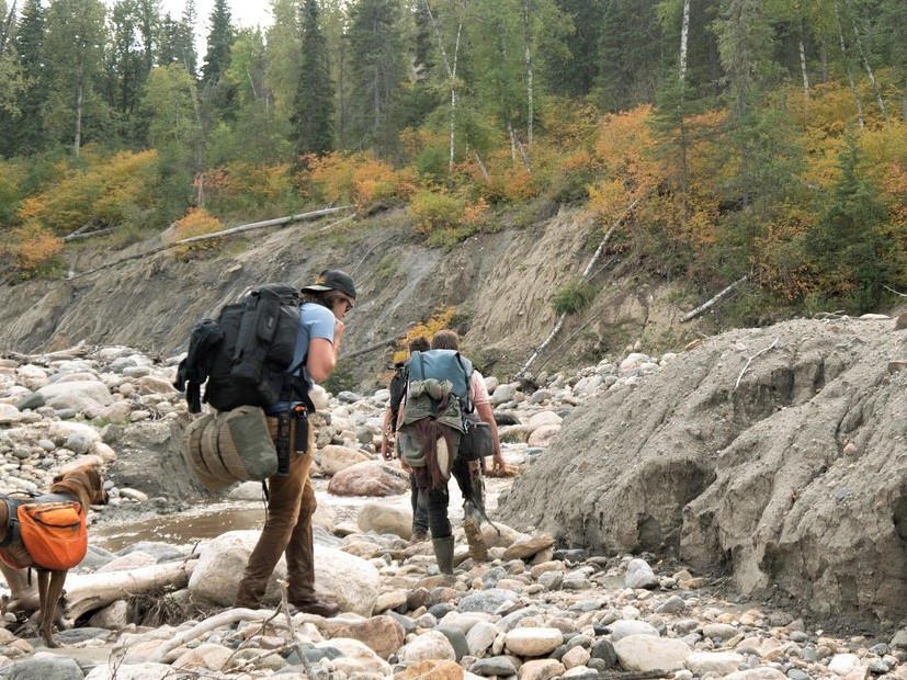
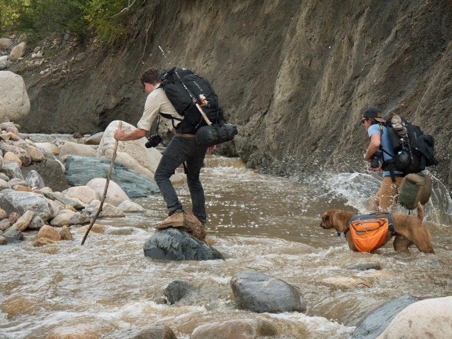
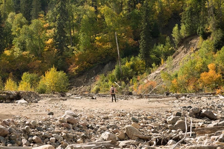
​Located in an ecological reserve on the northwest side of the Pasquia Hills, Rice River Canyon is a rugged backcountry wilderness hike. Over the last 12,000 years, the river has carved out an impressive valley. The walls stand high above you, reaching 400 ft. above the riverbed. The hike to the river forks is 10.6 km one way. Wear hiking shoes that can take on water and pack trekking poles, as there is no real trail to follow and you will be walking along and through the riverbed. Plan to overnight at one of the primitive campsites along the floodplain. Water levels fluctuate throughout the year, and it is recommended to hike this trail later in the season.
Prior wilderness hiking and camping experience is highly recommended.
  • ​Leave a hiking plan to someone.
  • Carry a GPS or satellite phone as there is no cell service along the trail. 
  • The parking area at the trailhead is not monitored. Do not leave valuables in your vehicle. 
  • There are no official campsites or bathrooms along the trail.
  • Pack water, ​food and snacks, bug spray, and a small first-aid kit.
  • It's bear country. Hang your food from trees when you stop.
  • ​Leave no trace.​​​​
SHOW MORE

Access

  • Backcountry
  • Wilderness

Amenities

  • Primitive sites

Activities

  • Hiking
  • Multi-day hiking
Maps & Docs

Contact Info

Phone(s): 306-470-7238 |
porcupinehillsprovpark@gov.sk.ca


Trail head at the bridge over Rice River Canyon, 94 km E of Carrot River on Highway 55.

Latitude: 53.516075° N, Longitude: -102.405958° W

North - Pasquia Hills

​Located in an ecological reserve on the northwest side of the Pasquia Hills, Rice River Canyon is a rugged backcountry wilderness hike. Over the last 12,000 years, the river has carved out an impressive valley. The walls stand high above you, reaching 400 ft. above the riverbed. The hike to the river forks is 10.6 km one way. Wear hiking shoes that can take on water and pack trekking poles, as there is no real trail to follow and you will be walking along and through the riverbed. Plan to overnight at one of the primitive campsites along the floodplain. Water levels fluctuate throughout the year, and it is recommended to hike this trail later in the season.
Prior wilderness hiking and camping experience is highly recommended.
  • ​Leave a hiking plan to someone.
  • Carry a GPS or satellite phone as there is no cell service along the trail. 
  • The parking area at the trailhead is not monitored. Do not leave valuables in your vehicle. 
  • There are no official campsites or bathrooms along the trail.
  • Pack water, ​food and snacks, bug spray, and a small first-aid kit.
  • It's bear country. Hang your food from trees when you stop.
  • ​Leave no trace.​​​​

SHOW MORE

Location Information

Trail head at the bridge over Rice River Canyon, 94 km E of Carrot River on Highway 55.

View on map >

lat. 53.516075° N, long. -102.405958° W

Contact Info

Phone: 306-470-7238 |
porcupinehillsprovpark@gov.sk.ca