South - Leader
Natural Attraction
+
Add to Suitcase
Tourism Saskatchewan
6.4 km W of Leader on Grid 741, 6.4 km N on Horseshoe Smith Rd and 3.2 km W to end of road. Watch for signs.
Latitude: 50.947863° N,
Longitude: -109.689613° W
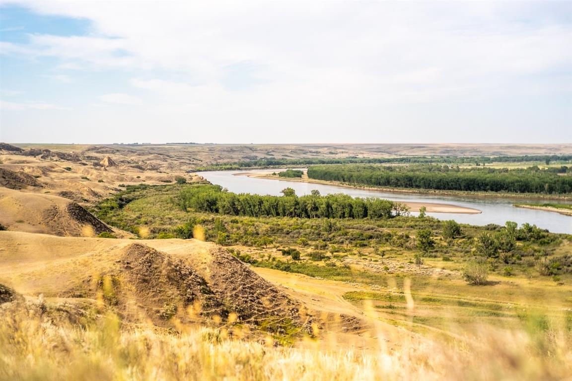
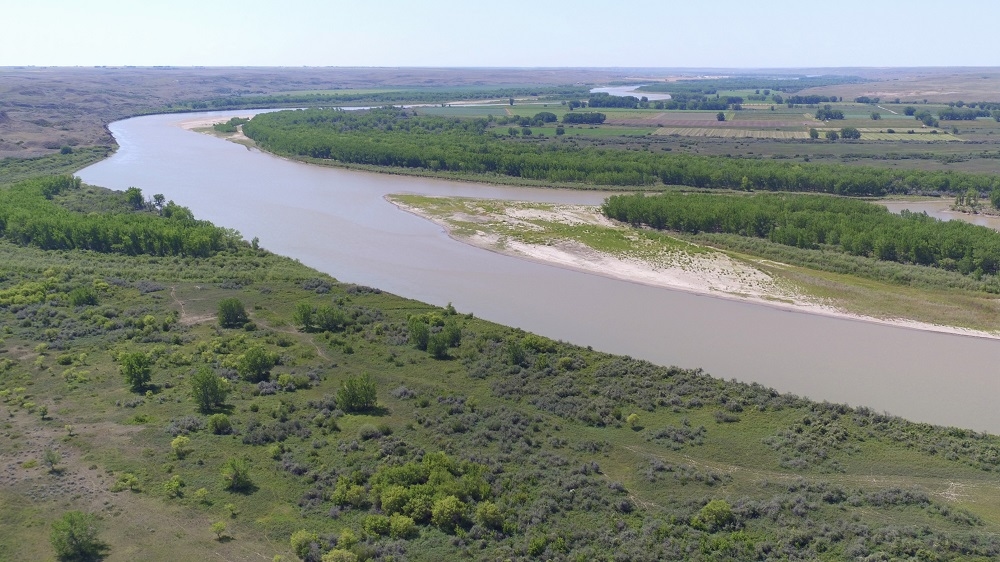
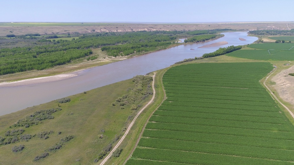
Checkerboard Hill is a scenic lookout located on a high cliff overlooking the South Saskatchewan River Valley, just west of the Town of Leader. A marker on site provides information on local sites and historic facts.
SHOW MORE

Inquire at tourist booth open mid-May to Labour Day weekend or at town office year round.

Access

  • Country / Rural

Services

  • Bus parking
  • Estimated viewing time (hours): 1
  • Self-guided tour

Maps & Docs

Contact Info

Phone(s): 306-628-3868 |

recreation@leader.ca | townoffice@leader.ca

Inquire at tourist booth open mid-May to Labour Day weekend or at town office year round.

6.4 km W of Leader on Grid 741, 6.4 km N on Horseshoe Smith Rd and 3.2 km W to end of road. Watch for signs.

Latitude: 50.947863° N, Longitude: -109.689613° W

South - Leader

Checkerboard Hill is a scenic lookout located on a high cliff overlooking the South Saskatchewan River Valley, just west of the Town of Leader. A marker on site provides information on local sites and historic facts.

SHOW MORE

Location Information

6.4 km W of Leader on Grid 741, 6.4 km N on Horseshoe Smith Rd and 3.2 km W to end of road. Watch for signs.

View on map >

lat. 50.947863° N, long. -109.689613° W

Contact Info

Phone: 306-628-3868 |
recreation@leader.ca | townoffice@leader.ca