


Batoche National Historic Site
15 km E of Rosthern on Hwy 312, then 11 km N on Hwy 225. Along the South Saskatchewan River. GPS: 52.4515N, -106.6222W.
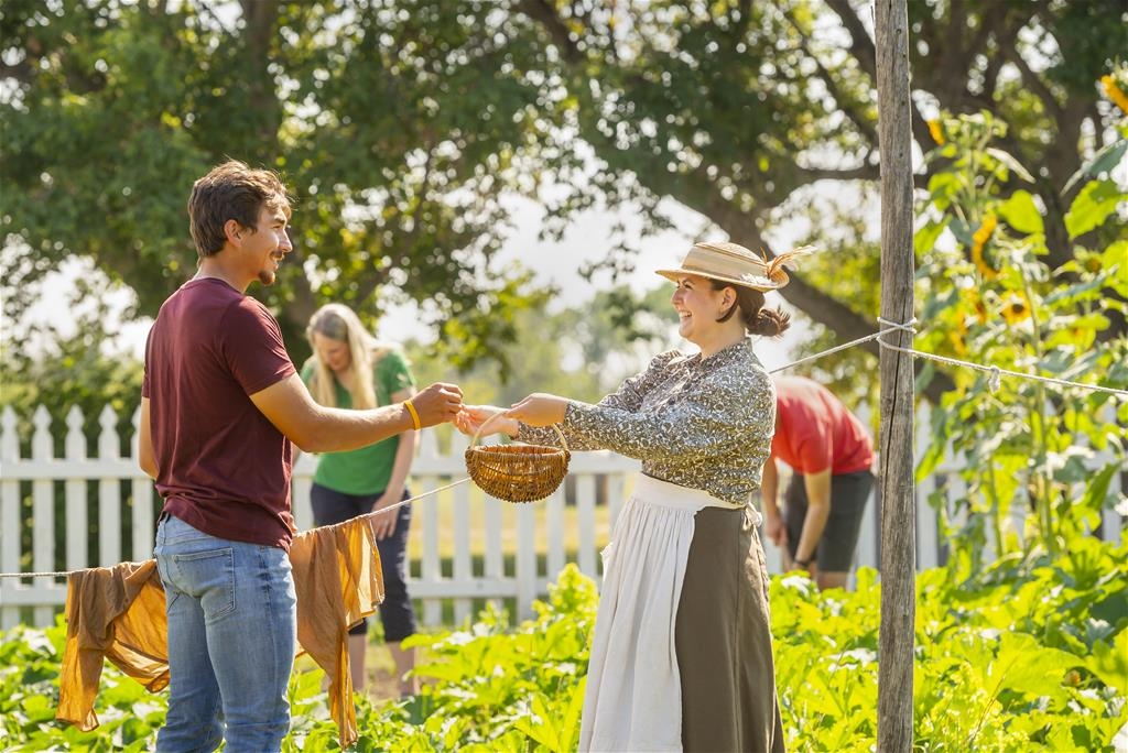
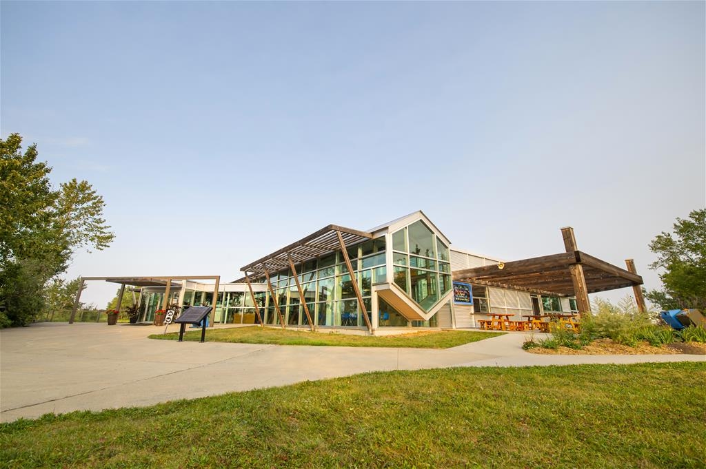
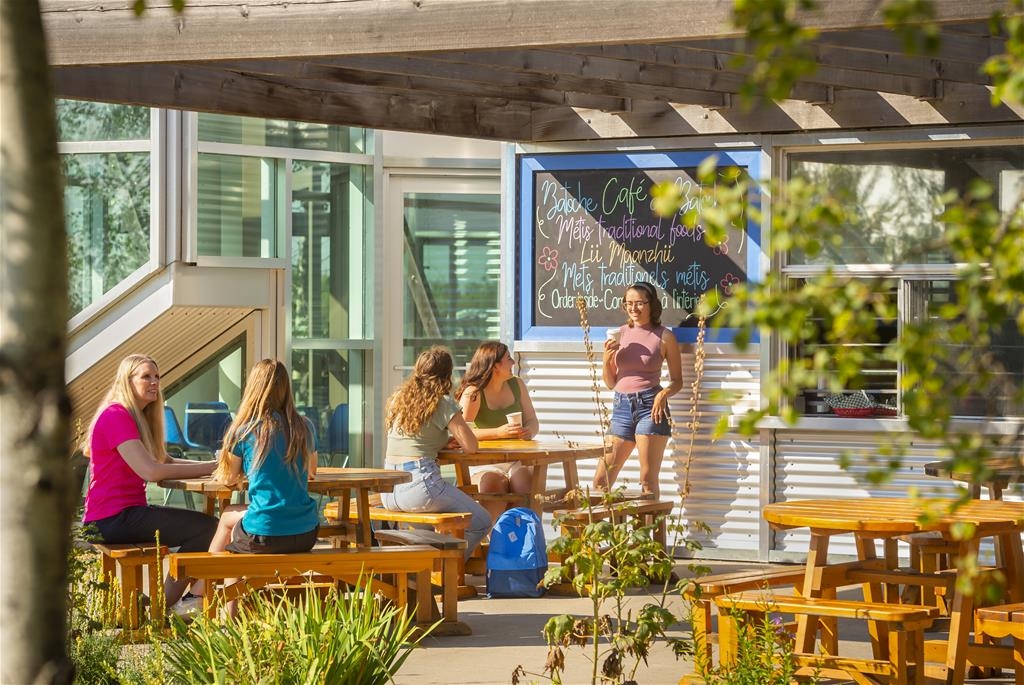
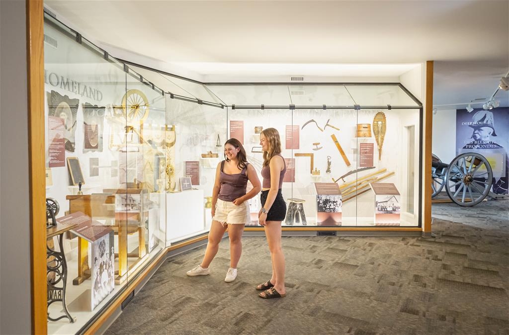
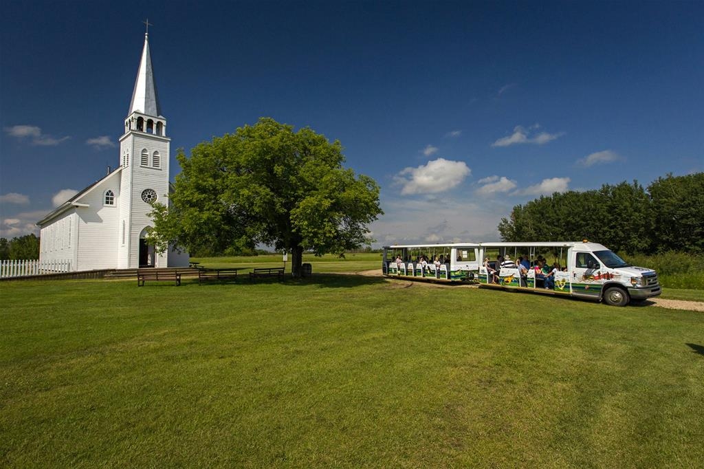
Explore the historic Batoche National Historic Site, where the echoes of the 1885 Battle resonate through the bullet-riddled rectory walls. Visitors can immerse themselves in the lives of the Métis community along the South Saskatchewan River, interact with farm animals, feed the chicken and learn from staff in period costume. Feel a connection to the recent past as you explore the rifle pits and read the names on the stones at the cemetery. Key attractions include the East Village ruins and the serene “Li pchi shmayn” hiking trail. For a comprehensive visit, take advantage of the Batoche Shuttle service. Please consult the Parks Canada website for current operational details before your visit.
Amenities
Picnic area
Guided tour
