Central - Melville
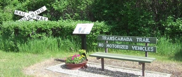
Public Trails, Trans Canada Trail
Add to Suitcase
Melville's Centennial Walking Trail GPS: 50.9414N, -102.8191W.
Latitude: 50.93096° N,
Longitude: -102.7877° W
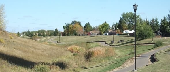
The city of Melville is home to two major trails - the Saskatchewan Centennial Walking Trail and The Great Trail - open to cyclists, walkers, hikers, joggers and in-line skaters year round.
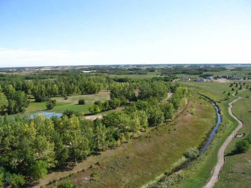
The Centennial Walking Trail starts at the city's west end beside the Melville Regional Park Golf Course, Country Club and Curling Club. It then travels east toward the Melville Regional Park and south across a creek before heading northeast toward the city's limits. The trail ends at the Melville and District Agri-Park (the city's fair grounds).
The city's portion of The Great Trail begins at Montreal St in the city's south end and follows 1st Ave west before heading northeast onto Main St. At 9th Ave, the trail turns right where it briefly connects with the Centennial Walking Trail before veering north into the Melville Regional Park and finally northeast out of the city's limits.
Motorized vehicles are only allowed on the city streets, they are not permitted on the walking paths of either trail.
Central - Melville